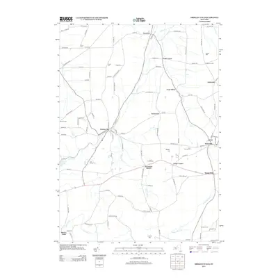
2013 Map of Oriskany Falls
USGS Topo · Published 2013About this map
Oriskany Falls and Waterville serve as the primary hubs in this central New York landscape, where the Sangerfield River and Oriskany Cr carve through the terrain near Sanger Hill. The map document showcases a high density of small, established hamlets and family-named corners typical of the region's agricultural and industrial heritage, including Forge Hollow, Deansboro, and Sangerfield. For genealogists, the sheet is a significant resource, precisely locating numerous burial grounds such as Waterville Village Cem, O'Toole Cem, and Saint Josephs Cem. A distinct pattern of rural development is visible through landmarks like the Alcott Greenhouses and named crossroads like Small Corners and Gibbons Corners, illustrating the enduring local geography of Oneida County.
Find a feature on this map
104 named features on this map. Tap any name to fly to it.
Don’t see what you’re looking for? This feature index may not catch every label — zoom into the map to look around manually.
Map Details
Editions of this 2013 Oriskany Falls Map
This is the sole edition of this map. No revisions or reprints were ever made.
Other maps of this area

1895 · Oriskany
USGS Topo · 1:62,500

1895 · Oneida
USGS Topo · 1:62,500

1898 · Oneida
USGS Topo · 1:62,500

1898 · Oriskany
USGS Topo · 1:62,500

1902 · Morrisville
USGS Topo · 1:62,500

1902 · Oneida
USGS Topo · 1:62,500

1907 · Sangerfield
USGS Topo · 1:62,500

1939 · Oneida
USGS Topo · 1:62,500

1943 · Hubbardsville
USGS Topo · 1:24,000

1943 · Cassville
USGS Topo · 1:24,000