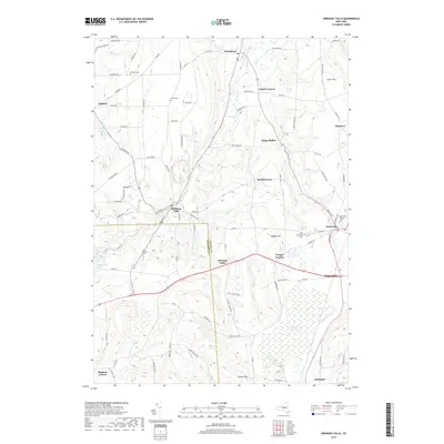
2019 Map of Oriskany Falls
USGS Topo · Published 2019About this map
Oriskany Falls serves as a central hub in this landscape where the Madison and Oneida County line divides the rolling upstate terrain. The village sits along the winding path of Oriskany Creek, which transitions from a narrow stream into a more prominent waterway as it flows northeast toward Deansboro. This area is defined by its small, traditional hamlets and the enduring presence of family and community landmarks, evidenced by numerous burial grounds such as Saint Josephs Cemetery and the Waterville Village Cemetery.
Find a feature on this map
93 named features on this map. Tap any name to fly to it.
Don’t see what you’re looking for? This feature index may not catch every label — zoom into the map to look around manually.
Map Details
Editions of this 2019 Oriskany Falls Map
This is the sole edition of this map. No revisions or reprints were ever made.
Other maps of this area

1895 · Oriskany
USGS Topo · 1:62,500

1895 · Oneida
USGS Topo · 1:62,500

1898 · Oneida
USGS Topo · 1:62,500

1898 · Oriskany
USGS Topo · 1:62,500

1902 · Morrisville
USGS Topo · 1:62,500

1902 · Oneida
USGS Topo · 1:62,500

1907 · Sangerfield
USGS Topo · 1:62,500

1939 · Oneida
USGS Topo · 1:62,500

1943 · Hubbardsville
USGS Topo · 1:24,000

1943 · Cassville
USGS Topo · 1:24,000