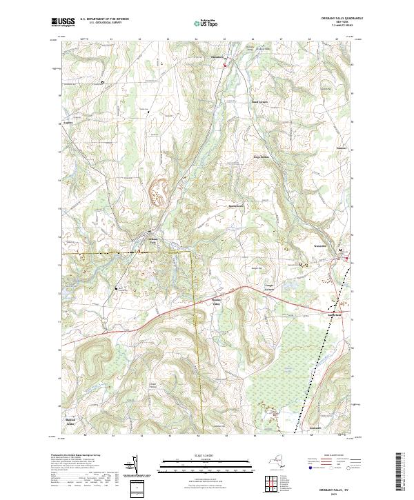
2023 Map of Oriskany Falls
USGS Topo · Published 2023About this map
Oriskany Falls serves as a focal point in this landscape where the Oneida Co and Madison Co border meets. The village is positioned at the intersection of several local waterways, including Oriskany Creek and Buckley Mill Creek, suggesting its historical development was closely tied to these natural drainages. To the south, the terrain descends toward the Ninemile Swamp, a significant natural feature through which the Sangerfield River flows, creating a distinct contrast with the higher elevations of Grant Hill and Sanger Hill to the east.
Find a feature on this map
101 named features on this map. Tap any name to fly to it.
Don’t see what you’re looking for? This feature index may not catch every label — zoom into the map to look around manually.
Map Details
Editions of this 2023 Oriskany Falls Map
This is the sole edition of this map. No revisions or reprints were ever made.
Other maps of this area

1895 · Oriskany
USGS Topo · 1:62,500

1895 · Oneida
USGS Topo · 1:62,500

1898 · Oneida
USGS Topo · 1:62,500

1898 · Oriskany
USGS Topo · 1:62,500

1902 · Morrisville
USGS Topo · 1:62,500

1902 · Oneida
USGS Topo · 1:62,500

1907 · Sangerfield
USGS Topo · 1:62,500

1939 · Oneida
USGS Topo · 1:62,500

1943 · Hubbardsville
USGS Topo · 1:24,000

1943 · Cassville
USGS Topo · 1:24,000