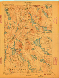
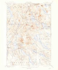
1900 Map of Orland
USGS Topo · Published 1909About this map
The county border between Penobscot and Hancock Counties divides a landscape of high granite hills and glacially carved lakes at the dawn of the twentieth century. Small hubs of commerce and residence appear at Harts Corners, East Holden, and Dedham, while the Central road network links the interior to the coast. Of particular interest to local historians is the early presence of the U.S. Fish Hatchery near Green Lake, indicating the region's long-standing connection to aquatic conservation and fishery management.
Find a feature on this map
99 named features on this map. Tap any name to fly to it.
Don’t see what you’re looking for? This feature index may not catch every label — zoom into the map to look around manually.
Map Details
Editions of this 1900 Orland Map
6 editions found
Other maps of this area

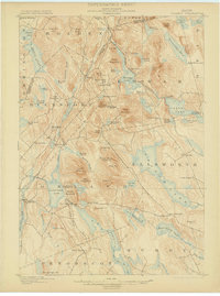
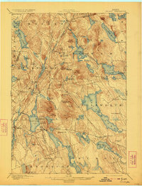
1900 · Orland
USGS Topo · 1:62,500

1900 · Bucksport
USGS Topo · 1:62,500

1902 · Orono
USGS Topo · 1:62,500

1902 · Bucksport
USGS Topo · 1:62,500

1902 · Bangor
USGS Topo · 1:62,500

1902 · Castine
USGS Topo · 1:62,500

1904 · Castine
USGS Topo · 1:62,500

1904 · Mount Desert
USGS Topo · 1:62,500

1904 · Bluehill
USGS Topo · 1:62,500

1905 · Penobscot Bay
USGS Topo · 1:125,000