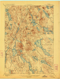
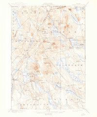
1900 Map of Orland
USGS Topo · Published 1923About this map
The Maine Central railroad cuts a distinctive path through the rugged terrain of Hancock County, connecting scattered lakeside settlements around the turn of the century. This survey highlights an era of active land and water resource management, prominently featuring the U.S. Fish Hatchery near Green Lake. The landscape is defined by its complex hydrology, with the Dead River and numerous water bodies like Phillips Lake and Brewer Pond providing the framework for early communities such as Bucks Mills and East Holden. Inland hubs like Dedham and North Orland are shown before the expansion of modern highway systems, revealing the original wagon road networks that linked these towns to the larger port of Ellsworth. Genealogists will find interest in the specific placement of the Lake House and the small hamlet of Nicolin, which served the railroad line as it skirted the edge of Mann Bog.
Find a feature on this map
94 named features on this map. Tap any name to fly to it.
Don’t see what you’re looking for? This feature index may not catch every label — zoom into the map to look around manually.
Map Details
Editions of this 1900 Orland Map
6 editions found
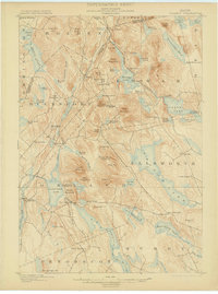
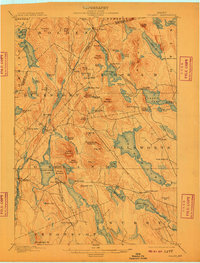
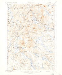
Other maps of this area

1900 · Orland
USGS Topo · 1:62,500

1900 · Bucksport
USGS Topo · 1:62,500

1902 · Orono
USGS Topo · 1:62,500

1902 · Bucksport
USGS Topo · 1:62,500

1902 · Bangor
USGS Topo · 1:62,500

1902 · Castine
USGS Topo · 1:62,500

1904 · Castine
USGS Topo · 1:62,500

1904 · Mount Desert
USGS Topo · 1:62,500

1904 · Bluehill
USGS Topo · 1:62,500

1905 · Penobscot Bay
USGS Topo · 1:125,000