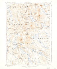
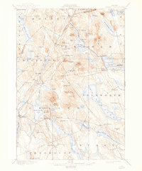
1900 Map of Orland
USGS Topo · Published 1935About this map
Maine Central rail lines bisect this turn-of-the-century coastal Maine landscape, connecting rural outposts and timberlands between the Penobscot River and Union River watersheds. The settlement at Lake House serves as a prominent waypoint along Phillips Lake, while the industrial and agricultural heritage of the region is evident in the scattered hamlets of Bucks Mills, East Bucksport, and North Orland. A significant early conservation landmark, the U.S. Fish Hatchery, is situated on the eastern shore of Green Lake, highlighting the era's focus on managing natural resources.
Find a feature on this map
97 named features on this map. Tap any name to fly to it.
Don’t see what you’re looking for? This feature index may not catch every label — zoom into the map to look around manually.
Map Details
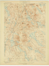
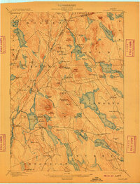
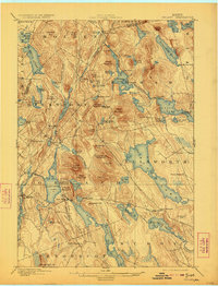
Editions of this 1900 Orland Map
6 editions found
Other maps of this area

1900 · Orland
USGS Topo · 1:62,500

1900 · Bucksport
USGS Topo · 1:62,500

1902 · Orono
USGS Topo · 1:62,500

1902 · Bucksport
USGS Topo · 1:62,500

1902 · Bangor
USGS Topo · 1:62,500

1902 · Castine
USGS Topo · 1:62,500

1904 · Castine
USGS Topo · 1:62,500

1904 · Mount Desert
USGS Topo · 1:62,500

1904 · Bluehill
USGS Topo · 1:62,500

1905 · Penobscot Bay
USGS Topo · 1:125,000