
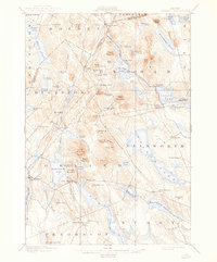
1900 Map of Orland
USGS Topo · Published 1900About this map
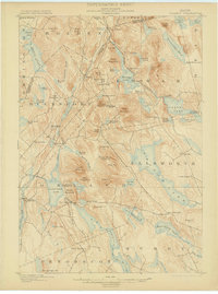
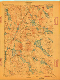
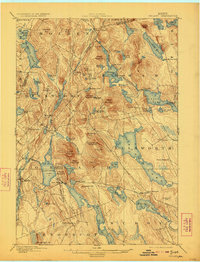
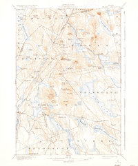
The Maine Central R. R. cuts through the high ground of the Penobscot and Hancock county line, linking the rugged glacial terrain of north-central Maine. This 1900 survey illustrates a landscape dominated by interconnected water systems, including Phillips Lake and Green Lake, where the U.S. Fish Hatchery is established on the southeastern shore. Small settlements like East Orland, Dedham, and Bucks Mills are tucked into the valleys between prominent peaks such as Flying Moose Mountain and Bald Mountain. The map details a period when the timber and granite of the hills were being accessed by a growing rail network, yet the geography remained largely defined by the numerous bogs and ponds, such as Mc Gann Bog and Hatcase Pond. Genealogists will find interest in the scattered residential clusters at Harts Corners and Santiago, reflecting the rural habitation patterns of the Maine interior at the turn of the century.
Find a feature on this map
95 named features on this map. Tap any name to fly to it.
Don’t see what you’re looking for? This feature index may not catch every label — zoom into the map to look around manually.
Map Details
Editions of this 1900 Orland Map
6 editions found
Other maps of this area

1900 · Bucksport
USGS Topo · 1:62,500

1902 · Orono
USGS Topo · 1:62,500

1902 · Bucksport
USGS Topo · 1:62,500

1902 · Bangor
USGS Topo · 1:62,500

1902 · Castine
USGS Topo · 1:62,500

1904 · Castine
USGS Topo · 1:62,500

1904 · Mount Desert
USGS Topo · 1:62,500

1904 · Bluehill
USGS Topo · 1:62,500

1905 · Penobscot Bay
USGS Topo · 1:125,000

1911 · Ellsworth
USGS Topo · 1:62,500