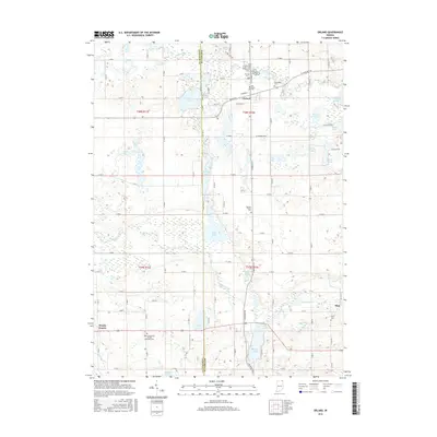
2016 Map of Orland
USGS Topo · Published 2016About this map
Orland and the surrounding borderlands of Lagrange and Steuben counties are defined by a complex network of glacial kettle lakes and prairies. The northern portion of the map is dominated by Wall Lake, Lime Lake, and the meandering course of the Fawn River, while the southern reaches feature the broad Jackson Prairie and Brushy Prairie. These agricultural expanses are punctuated by numerous small cemeteries, such as the Mill Grove Cem and Carlton Cem, which speak to the early pioneer settlement patterns in this corner of Northeast Indiana.
Find a feature on this map
66 named features on this map. Tap any name to fly to it.
Don’t see what you’re looking for? This feature index may not catch every label — zoom into the map to look around manually.
Map Details
Editions of this 2016 Orland Map
This is the sole edition of this map. No revisions or reprints were ever made.
Other maps of this area

1940 · Orland
USGS Topo · 1:24,000

1941 · Orland
USGS Topo · 1:24,000

1941 · Angola West
USGS Topo · 1:24,000

1942 · Ashley
USGS Topo · 1:24,000

1942 · Angola West
USGS Topo · 1:24,000

1942 · Stroh
USGS Topo · 1:24,000

1947 · Mongo
USGS Topo · 1:24,000

1947 · Wolcottville
USGS Topo · 1:24,000

1953 · Fort Wayne
USGS Topo · 1:250,000

1956 · Fort Wayne
USGS Topo · 1:250,000