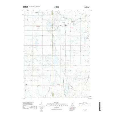
2019 Map of Orland
USGS Topo · Published 2019About this map
Orland and the surrounding rural landscapes of Steuben County are characterized by a network of local roads and quiet settlements. The community of Greenfield Mills stands as a notable point in the northern reach of the area, while the settlement of Flint anchors the southeastern corner. Genealogists and local historians can locate the East Springfield United Methodist Cem in the southwestern quadrant, providing a specific point of reference for family research in this part of Indiana. This modern survey illustrates the persistent rural character of the region, showing how small communities and historic burial sites remain central to the geography of the township even decades after their founding.
Find a feature on this map
4 named features on this map. Tap any name to fly to it.
Don’t see what you’re looking for? This feature index may not catch every label — zoom into the map to look around manually.
Map Details
Editions of this 2019 Orland Map
This is the sole edition of this map. No revisions or reprints were ever made.
Other maps of this area
1940 · Orland
USGS Topo · 1:24,000
1941 · Orland
USGS Topo · 1:24,000
1941 · Angola West
USGS Topo · 1:24,000
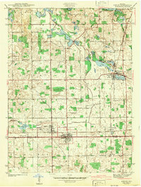
1942 · Ashley
USGS Topo · 1:24,000
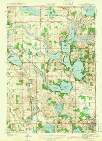
1942 · Angola West
USGS Topo · 1:24,000
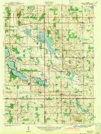
1942 · Stroh
USGS Topo · 1:24,000
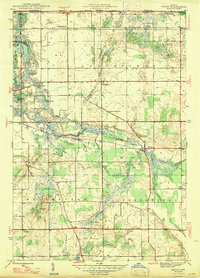
1947 · Mongo
USGS Topo · 1:24,000
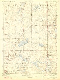
1947 · Wolcottville
USGS Topo · 1:24,000
1953 · Fort Wayne
USGS Topo · 1:250,000
1956 · Fort Wayne
USGS Topo · 1:250,000