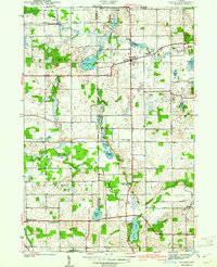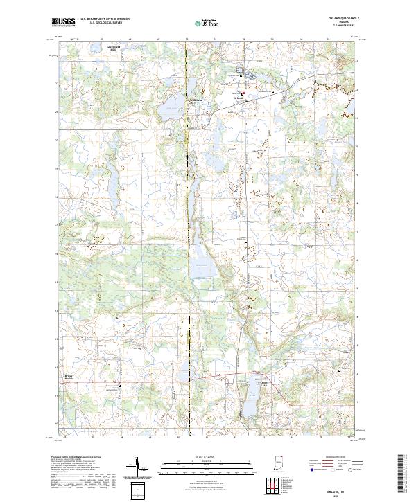
1941 Map of Orland
USGS Topo · Published 1941About this map
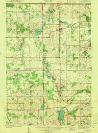
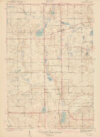
The glacial landscape of northeastern Indiana is defined by a dense network of kettle lakes and wetlands in this 1939 survey. Centered on Orland, the map reveals a countryside where water management and conservation were paramount, highlighted by the Orland Fish Hatchery. The settlement pattern follows the established section lines and the historic Vistula Road, connecting small farming communities and religious centers. Scattered across the prairie and marshlands are vital genealogical landmarks like Greenlawn Cem and the Jackson Prairie Cem.
Find a feature on this map
37 named features on this map. Tap any name to fly to it.
Don’t see what you’re looking for? This feature index may not catch every label — zoom into the map to look around manually.
Map Details
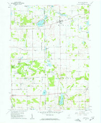
Editions of this 1941 Orland Map
2 editions found
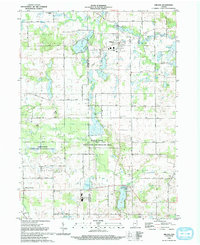
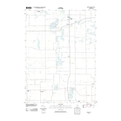
Historical Maps of Orland Through Time
9 maps found