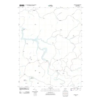
2010 Map of Orlando
USGS Topo · Published 2010About this map
The Little Kanawha River and the expansive waters of Burnsville Lake dominate this central West Virginia landscape, reflecting a region reshaped by mid-twentieth-century water management projects. The Burnsville Lake Dam regulates the flow where the river meets Triplets Run and Little Knawl Creek, creating a complex shoreline that borders small settlements such as Napier, Bulltown, and Orlando. The terrain is defined by prominent high points including Hog Knob and Cedar Knob, while narrow hollows are traced by an intricate network of secondary routes like the Gauley Tpke and Millstone Run Rd. For those researching local family history, the map provides precise locations for numerous burial grounds, including the Orlando Cem, Casto Cemetery, and Fleming Cemetery. These cemeteries, often positioned on ridges or near old road junctions like Wine Gap, serve as the primary markers of the area's rural heritage and early settlement patterns.
Find a feature on this map
88 named features on this map. Tap any name to fly to it.
Don’t see what you’re looking for? This feature index may not catch every label — zoom into the map to look around manually.
Map Details
Editions of this 2010 Orlando Map
This is the sole edition of this map. No revisions or reprints were ever made.
Other maps of this area

1893 · Buckhannon
USGS Topo · 1:125,000

1893 · Sutton
USGS Topo · 1:125,000

1896 · Buckhannon
USGS Topo · 1:125,000

1897 · Buckhannon
USGS Topo · 1:125,000

1906 · Burnsville
USGS Topo · 1:62,500

1908 · Sutton
USGS Topo · 1:48,000

1910 · Sutton Special
USGS Topo · 1:62,500

1912 · Crawford
USGS Topo · 1:48,000

1913 · Hacker Valley
USGS Topo · 1:48,000

1914 · Crawford
USGS Topo · 1:62,500