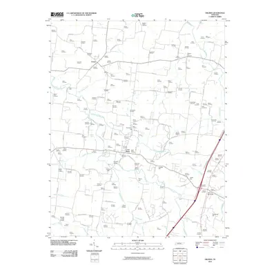
2010 Map of Orlinda
USGS Topo · Published 2010About this map
The agrarian landscape of northern Tennessee is captured in detail near the Kentucky border, where the communities of Orlinda and Cross Plains serve as primary hubs. This area is defined by a dense network of family-named landmarks and infrastructure that reflects a deep-rooted genealogical history. The Red River and its various tributaries, such as the South Fork Red River and Honey Run, carve through the terrain, bridged by structures like Empson Bridge and Payne Bridge.
Find a feature on this map
157 named features on this map. Tap any name to fly to it.
Don’t see what you’re looking for? This feature index may not catch every label — zoom into the map to look around manually.
Map Details
Editions of this 2010 Orlinda Map
This is the sole edition of this map. No revisions or reprints were ever made.
Other maps of this area

1903 · Nashville
USGS Topo · 1:125,000

1931 · Ridgetop
USGS Topo · 1:62,500

1935 · Ridgetop
USGS Topo · 1:62,500

1942 · Gallatin
USGS Topo · 1:100,000

1951 · Adairville
USGS Topo · 1:24,000

1951 · Franklin
USGS Topo · 1:24,000

1951 · Prices Mill
USGS Topo · 1:24,000

1952 · Youngville
USGS Topo · 1:24,000

1953 · Cottontown
USGS Topo · 1:24,000

1953 · Orlinda
USGS Topo · 1:24,000