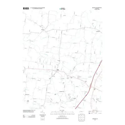
2013 Map of Orlinda
USGS Topo · Published 2013About this map
Orlinda and Cross Plains anchor this Robertson County landscape, where rural life is defined by the winding tributaries of the Red River. The topography is marked by numerous family-named landmarks and distinct elevations, such as Covington Hill and Cherry Mount Hill, which rise above the surrounding hollows. Traditional transportation networks are evident in historic crossing points like Doss Ford and the steel and concrete spans of Empson Bridge and Payne Bridge.
Find a feature on this map
129 named features on this map. Tap any name to fly to it.
Don’t see what you’re looking for? This feature index may not catch every label — zoom into the map to look around manually.
Map Details
Editions of this 2013 Orlinda Map
This is the sole edition of this map. No revisions or reprints were ever made.
Other maps of this area

1903 · Nashville
USGS Topo · 1:125,000

1931 · Ridgetop
USGS Topo · 1:62,500

1935 · Ridgetop
USGS Topo · 1:62,500

1942 · Gallatin
USGS Topo · 1:100,000

1951 · Adairville
USGS Topo · 1:24,000

1951 · Franklin
USGS Topo · 1:24,000

1951 · Prices Mill
USGS Topo · 1:24,000

1952 · Youngville
USGS Topo · 1:24,000

1953 · Cottontown
USGS Topo · 1:24,000

1953 · Orlinda
USGS Topo · 1:24,000