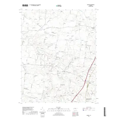
2019 Map of Orlinda
USGS Topo · Published 2019About this map
Orlinda and Cross Plains anchor this modern landscape along the Robertson and Sumner county line, an area defined by deep agricultural roots and a dense network of family-owned lands. The terrain is marked by numerous watercourses including the Red River and South Fork Red River, which carve through the land alongside prominent elevations like Covington Hill and Bradley Hill. The map is particularly notable for its incredible density of family burial grounds, such as Traughber Cem, Featherston Cem, and Redfearn Cem, providing a detailed record for genealogical research.
Find a feature on this map
196 named features on this map. Tap any name to fly to it.
Don’t see what you’re looking for? This feature index may not catch every label — zoom into the map to look around manually.
Map Details
Editions of this 2019 Orlinda Map
This is the sole edition of this map. No revisions or reprints were ever made.
Other maps of this area

1903 · Nashville
USGS Topo · 1:125,000

1931 · Ridgetop
USGS Topo · 1:62,500

1935 · Ridgetop
USGS Topo · 1:62,500

1942 · Gallatin
USGS Topo · 1:100,000

1951 · Adairville
USGS Topo · 1:24,000

1951 · Franklin
USGS Topo · 1:24,000

1951 · Prices Mill
USGS Topo · 1:24,000

1952 · Youngville
USGS Topo · 1:24,000

1953 · Cottontown
USGS Topo · 1:24,000

1953 · Orlinda
USGS Topo · 1:24,000