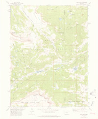
1977 Map of Orno Peak
USGS Topo · Published 1978About this map
Little Flat Tops and the surrounding high country of the Routt National Forest define this 1970s topographic study. The landscape is a network of alpine water management and primitive transit, marked by several significant catchment basins including the Upper Stillwater Reservoir (Yampa Reservoir) and Stillwater Reservoir. These bodies of water, along with the Watson Reservoir and Gardner Reservoir, suggest a complex irrigation or water storage system vital to the region's downslope interests.
Find a feature on this map
49 named features on this map. Tap any name to fly to it.
Don’t see what you’re looking for? This feature index may not catch every label — zoom into the map to look around manually.
Map Details
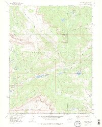
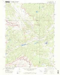
Editions of this 1977 Orno Peak Map
3 editions found
Other maps of this area

1927 · Glenwood Springs
USGS Topo · 1:125,000

1930 · Glenwood Springs
USGS Topo · 1:125,000

1954 · Craig
USGS Topo · 1:250,000

1957 · Craig
USGS Topo · 1:250,000

1957 · Leadville
USGS Topo · 1:250,000

1958 · Craig
USGS Topo · 1:250,000

1959 · Leadville
USGS Topo · 1:250,000

1960 · Leadville
USGS Topo · 1:250,000

1960 · Craig
USGS Topo · 1:250,000

1962 · Leadville
USGS Topo · 1:250,000