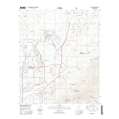
2014 Map of Oro Valley
USGS Topo · Published 2014About this map
Oro Valley and the neighboring community of Catalina sit at the desert edge of the Santa Catalina Mountains, showcasing the suburban expansion of Pima County in the early 21st century. The map highlights a landscape defined by dramatic elevation changes, transitioning from the residential subdivisions along N Oracle Rd to the protected wilderness of the Coronado National Forest. This interface between developed land and the high desert is marked by numerous drainage systems, including Sutherland Wash and Big Wash, which descend from the high peaks of Pusch Ridge and Mt Kimball.
Find a feature on this map
174 named features on this map. Tap any name to fly to it.
Don’t see what you’re looking for? This feature index may not catch every label — zoom into the map to look around manually.
Map Details
Editions of this 2014 Oro Valley Map
This is the sole edition of this map. No revisions or reprints were ever made.
Other maps of this area
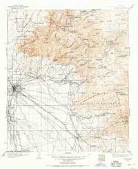
1904 · Tucson
USGS Topo · 1:125,000
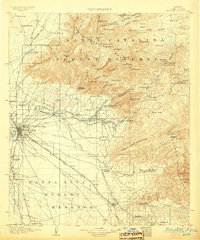
1905 · Tucson
USGS Topo · 1:125,000
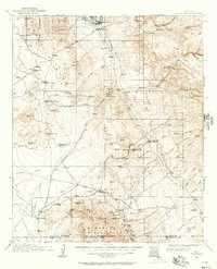
1911 · Winkelman
USGS Topo · 1:125,000
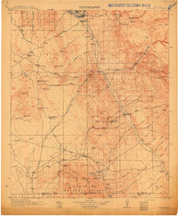
1913 · Winkelman
USGS Topo · 1:125,000
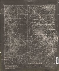
1934 · Tucson Mountains
USGS Topo · 1:125,000
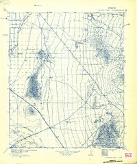
1934 · Newman Peak
USGS Topo · 1:125,000
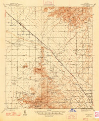
1947 · Cortaro
USGS Topo · 1:62,500

1956 · Tucson
USGS Topo · 1:250,000
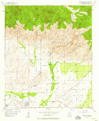
1957 · Sabino Canyon
USGS Topo · 1:24,000
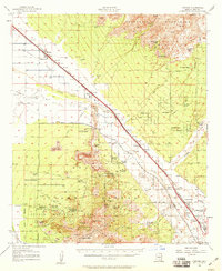
1957 · Cortaro
USGS Topo · 1:62,500