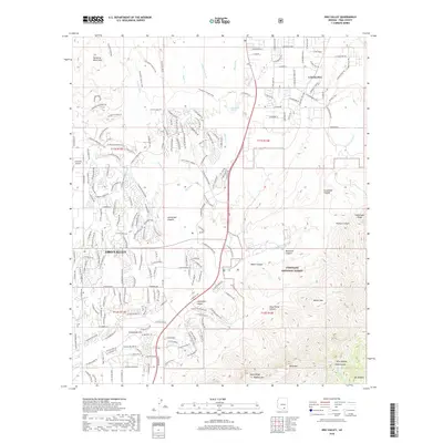
2018 Map of Oro Valley
USGS Topo · Published 2018About this map
Coronado National Forest and the towering summits of the Santa Catalina range dominate the eastern half of this landscape, rising sharply above the desert floor. The map highlights the significant elevation changes from the wash beds to the peaks of Bighorn Mtn and Mt Kimball. Deep drainage systems like Cargodera Canyon and Romero Canyon carve through the mountain front, funneling water toward the Big Wash and Cañada del Oro ephemeral watercourses. In the valley, the expansion of residential street networks around Catalina and Oro Valley meets the natural boundary of the wilderness, where recreational landmarks like the 50-Year Trail and Pima Canyon offer transition into the protected highlands. This edition also documents the specialized infrastructure of La Cholla Airpark and the complex system of washes, such as Sahuarita Wash and Sutherland Wash, that define the local hydrologic character.
Find a feature on this map
73 named features on this map. Tap any name to fly to it.
Don’t see what you’re looking for? This feature index may not catch every label — zoom into the map to look around manually.
Map Details
Editions of this 2018 Oro Valley Map
This is the sole edition of this map. No revisions or reprints were ever made.
Other maps of this area
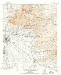
1904 · Tucson
USGS Topo · 1:125,000
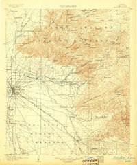
1905 · Tucson
USGS Topo · 1:125,000
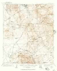
1911 · Winkelman
USGS Topo · 1:125,000
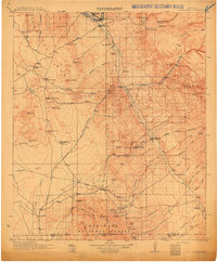
1913 · Winkelman
USGS Topo · 1:125,000
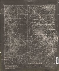
1934 · Tucson Mountains
USGS Topo · 1:125,000
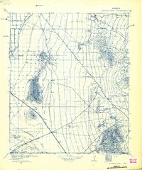
1934 · Newman Peak
USGS Topo · 1:125,000
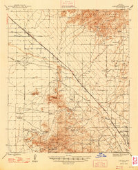
1947 · Cortaro
USGS Topo · 1:62,500

1956 · Tucson
USGS Topo · 1:250,000
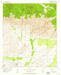
1957 · Sabino Canyon
USGS Topo · 1:24,000
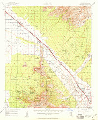
1957 · Cortaro
USGS Topo · 1:62,500