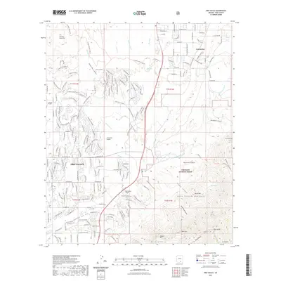
2021 Map of Oro Valley
USGS Topo · Published 2021About this map
Oro Valley and Catalina sit at the desert edge where modern residential development meets the dramatic rising slopes of the Santa Catalina Mountains. This 2021 survey documents a landscape defined by expansive desert washes, such as Big Wash and Sutherland Wash, and the deep carved drainage of Cañada del Oro. To the west, the Tortolita Mountains and the La Cholla Airpark mark the boundary of the suburban reach, while the east is dominated by the protected wilderness of the Coronado National Forest.
Find a feature on this map
194 named features on this map. Tap any name to fly to it.
Don’t see what you’re looking for? This feature index may not catch every label — zoom into the map to look around manually.
Map Details
Editions of this 2021 Oro Valley Map
This is the sole edition of this map. No revisions or reprints were ever made.
Other maps of this area

1904 · Tucson
USGS Topo · 1:125,000

1905 · Tucson
USGS Topo · 1:125,000

1911 · Winkelman
USGS Topo · 1:125,000

1913 · Winkelman
USGS Topo · 1:125,000

1934 · Tucson Mountains
USGS Topo · 1:125,000

1934 · Newman Peak
USGS Topo · 1:125,000

1947 · Cortaro
USGS Topo · 1:62,500

1956 · Tucson
USGS Topo · 1:250,000

1957 · Sabino Canyon
USGS Topo · 1:24,000

1957 · Cortaro
USGS Topo · 1:62,500