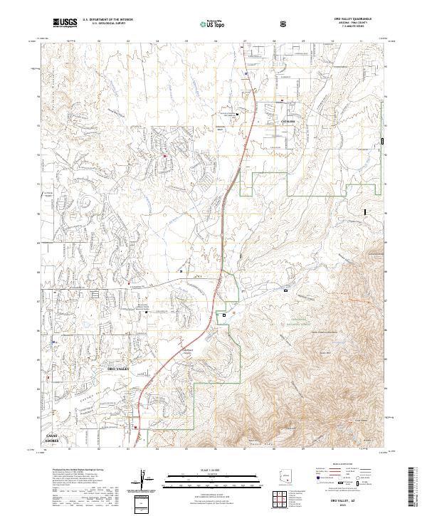
2023 Map of Oro Valley
USGS Topo · Published 2023About this map
The Coronado National Forest and Pusch Ridge Wilderness define the eastern landscape of this modern Pima County survey, where the desert floor meets the dramatic rise of the Santa Catalina Mountains. The suburban expansion of Oro Valley and Catalina is meticulously charted, showing the residential street networks that have filled the basins between Big Wash and the ephemeral Cañada del Oro. Notable landmarks such as the La Cholla Airpark and the Resurrection Lutheran Church Memorial Garden provide specific points of interest for local historians studying recent growth patterns. The map also records the numerous canyons and peaks that overlook the valley, including Buster Mtn and Bighorn Mtn, illustrating the sharp boundary between developed desert communities and protected mountain wilderness.
Find a feature on this map
62 named features on this map. Tap any name to fly to it.
Don’t see what you’re looking for? This feature index may not catch every label — zoom into the map to look around manually.
Map Details
Editions of this 2023 Oro Valley Map
This is the sole edition of this map. No revisions or reprints were ever made.
Other maps of this area

1904 · Tucson
USGS Topo · 1:125,000

1905 · Tucson
USGS Topo · 1:125,000

1911 · Winkelman
USGS Topo · 1:125,000

1913 · Winkelman
USGS Topo · 1:125,000

1934 · Tucson Mountains
USGS Topo · 1:125,000

1934 · Newman Peak
USGS Topo · 1:125,000

1947 · Cortaro
USGS Topo · 1:62,500

1956 · Tucson
USGS Topo · 1:250,000

1957 · Sabino Canyon
USGS Topo · 1:24,000

1957 · Cortaro
USGS Topo · 1:62,500