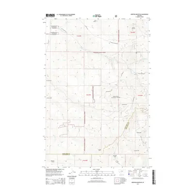
2014 Map of Orofino Mountain
USGS Topo · Published 2014About this map
Orofino Mountain and Cottonwood Mtn dominate the high-elevation landscape of this southwestern Montana study, situated within the Deerlodge National Forest. The map documents a complex drainage system defined by numerous gulches and creeks, including Perkins Gulch, Girard Gulch, and Dry Cottonwood Cr. This topography was shaped by a network of forest roads and trails like Four Corners Rd and Sand Hollow Rd, which provided access through the rugged timberland and connected diverse water sources such as Barrel Springs.
Find a feature on this map
32 named features on this map. Tap any name to fly to it.
Don’t see what you’re looking for? This feature index may not catch every label — zoom into the map to look around manually.
Map Details
Editions of this 2014 Orofino Mountain Map
This is the sole edition of this map. No revisions or reprints were ever made.
Other maps of this area
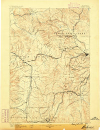
1889 · Helena
USGS Topo · 1:250,000
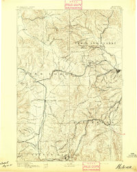
1893 · Helena
USGS Topo · 1:250,000
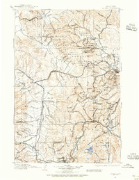
1899 · Helena
USGS Topo · 1:250,000
1903 · Helena
USGS Topo · 1:250,000
1947 · Butte
USGS Topo · 1:250,000
1958 · Butte
USGS Topo · 1:250,000
1959 · Butte North
USGS Topo · 1:62,500
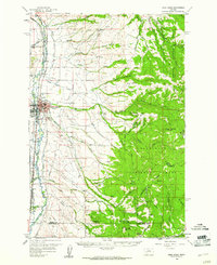
1959 · Deer Lodge
USGS Topo · 1:62,500
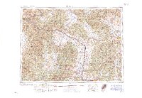
1960 · Butte
USGS Topo · 1:250,000
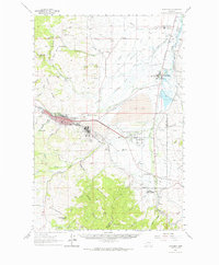
1961 · Anaconda
USGS Topo · 1:62,500