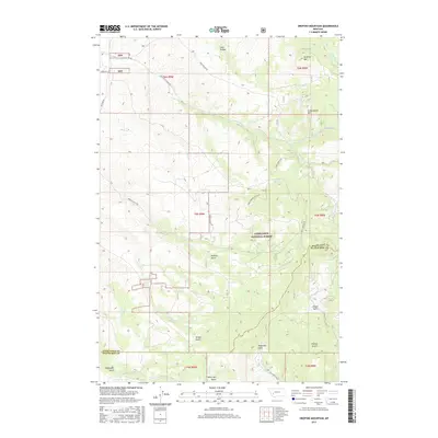
2017 Map of Orofino Mountain
USGS Topo · Published 2017About this map
Deerlodge National Forest dominates this mountain landscape along the border of Deer Lodge and Silver Bow counties. The high ground is anchored by the dual summits of Orofino Mtn and Cottonwood Mtn, with a complex network of drainages such as Perkins Gulch and Telegraph Gulch defining the rugged topography. The map reveals a land structured by historical resource extraction and grazing, evidenced by the numerous named gulches and the primitive road network including Four Corners Rd and Sand Hollow Rd. Water sources like Barrel Springs and Cook Cr appear as vital points in this arid upland environment, while the northern reaches transition into the lower drainage of Dry Cottonwood Cr. This modern survey provides a detailed view of the terrain as it existed just before the turn of the decade, capturing the intersection of public forest management and private landholdings in the Butte hinterlands.
Find a feature on this map
32 named features on this map. Tap any name to fly to it.
Don’t see what you’re looking for? This feature index may not catch every label — zoom into the map to look around manually.
Map Details
Editions of this 2017 Orofino Mountain Map
This is the sole edition of this map. No revisions or reprints were ever made.
Other maps of this area
1889 · Helena
USGS Topo · 1:250,000
1893 · Helena
USGS Topo · 1:250,000
1899 · Helena
USGS Topo · 1:250,000
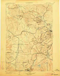
1903 · Helena
USGS Topo · 1:250,000
1947 · Butte
USGS Topo · 1:250,000
1958 · Butte
USGS Topo · 1:250,000
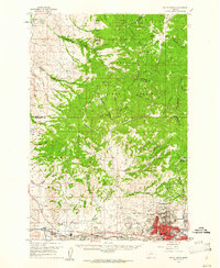
1959 · Butte North
USGS Topo · 1:62,500
1959 · Deer Lodge
USGS Topo · 1:62,500
1960 · Butte
USGS Topo · 1:250,000
1961 · Anaconda
USGS Topo · 1:62,500