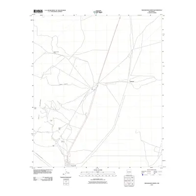
2010 Map of Orogrande North
USGS Topo · Published 2010About this map
Mining operations dot the foothills of the Jarilla Mountains in this desert landscape of southern New Mexico. The small settlement of Orogrande serves as a focal point near the southern edge of the sheet, connected by Meade Ave and Oregrande Range Camp Rd. The terrain is characterized by the presence of numerous small-scale mining prospects that reflect the area's geological history, including the Iron Queen Mine, Garnet Mine, and the Alice Mine. To the north, the landscape is interrupted by Water Canyon and the Monte Carlo Gap, while the settlement of Turquoise sits to the northeast. This 2010 survey illustrates a region where local infrastructure like County Rd-A003 navigates between industrial sites and the natural desert drainage systems.
Find a feature on this map
13 named features on this map. Tap any name to fly to it.
Don’t see what you’re looking for? This feature index may not catch every label — zoom into the map to look around manually.
Map Details
Editions of this 2010 Orogrande North Map
This is the sole edition of this map. No revisions or reprints were ever made.
Other maps of this area

1916 · Point Of Sands
USGS Topo · 1:125,000

1940 · Orogrande
USGS Topo · 1:62,500

1943 · Pendejo Wash
USGS Topo · 1:62,500

1943 · Orogrande
USGS Topo · 1:62,500

1947 · Orogrande North
USGS Topo · 1:24,000

1948 · El Wood
USGS Topo · 1:24,000
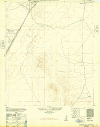
1948 · Orogrande South
USGS Topo · 1:24,000

1948 · Elephant Mountain
USGS Topo · 1:24,000

1948 · Tres Hermanos
USGS Topo · 1:62,500

1950 · Escondido Canyon
USGS Topo · 1:62,500