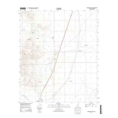
2013 Map of Orogrande North
USGS Topo · Published 2013About this map
The Jarilla Mountains rise sharply above the southern Tularosa Valley, defining the landscape of this high desert region in southern New Mexico. Centered on the community of Orogrande, the map captures a transition from rugged peaks like Monte Carlo Gap to the expansive desert floor. Military boundaries are prominent, with the White Sands Missile Range occupying a significant portion of the western terrain. Local infrastructure is concentrated in the south, where residential streets like Carrol St and Grace St meet the corridor of Us-54 S. Historic mining and water management markers, including the Hurd Luck Tank and the settlement at Turquoise, point to the area's history of mineral extraction and survival in an arid environment. The map provides a precise look at these remote desert crossroads before modern expansion.
Find a feature on this map
20 named features on this map. Tap any name to fly to it.
Don’t see what you’re looking for? This feature index may not catch every label — zoom into the map to look around manually.
Map Details
Editions of this 2013 Orogrande North Map
This is the sole edition of this map. No revisions or reprints were ever made.
Other maps of this area
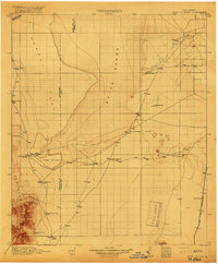
1916 · Point Of Sands
USGS Topo · 1:125,000
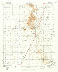
1940 · Orogrande
USGS Topo · 1:62,500
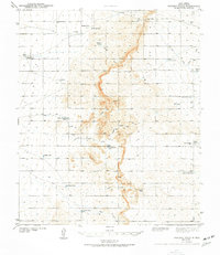
1943 · Pendejo Wash
USGS Topo · 1:62,500
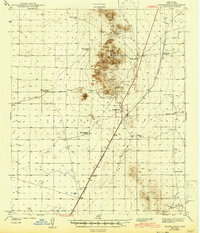
1943 · Orogrande
USGS Topo · 1:62,500
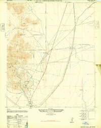
1947 · Orogrande North
USGS Topo · 1:24,000
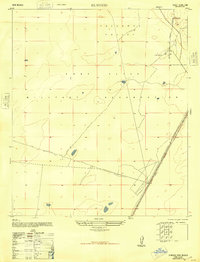
1948 · El Wood
USGS Topo · 1:24,000
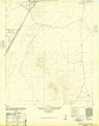
1948 · Orogrande South
USGS Topo · 1:24,000
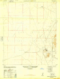
1948 · Elephant Mountain
USGS Topo · 1:24,000
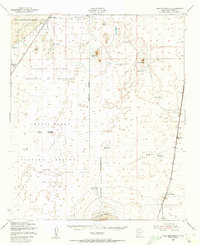
1948 · Tres Hermanos
USGS Topo · 1:62,500
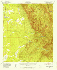
1950 · Escondido Canyon
USGS Topo · 1:62,500