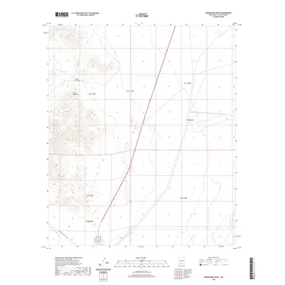
2020 Map of Orogrande North
USGS Topo · Published 2020About this map
The high-desert terrain of the Jarilla Mountains dominates this portion of Otero County, where mining history and modern military access converge. The settlement of Orogrande is positioned at the southern edge of the quadrangle, defined by a distinct grid including Main St and Carrol St. To the northeast, the smaller outpost of Turquoise sits near the base of the mountains, suggesting the mineral legacy of this arid landscape. The topography is marked by natural passages like Monte Carlo Gap and seasonal drainage features such as Water Canyon. The presence of the Oregrande Range Camp Rd indicates the area's ongoing integration with regional range facilities, while isolated water features like Hard Luck Tank highlight the challenges of the local environment.
Find a feature on this map
15 named features on this map. Tap any name to fly to it.
Don’t see what you’re looking for? This feature index may not catch every label — zoom into the map to look around manually.
Map Details
Editions of this 2020 Orogrande North Map
This is the sole edition of this map. No revisions or reprints were ever made.
Other maps of this area

1916 · Point Of Sands
USGS Topo · 1:125,000

1940 · Orogrande
USGS Topo · 1:62,500

1943 · Pendejo Wash
USGS Topo · 1:62,500

1943 · Orogrande
USGS Topo · 1:62,500

1947 · Orogrande North
USGS Topo · 1:24,000

1948 · El Wood
USGS Topo · 1:24,000
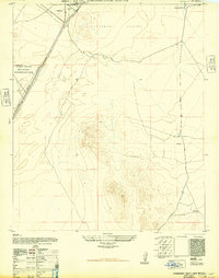
1948 · Orogrande South
USGS Topo · 1:24,000

1948 · Elephant Mountain
USGS Topo · 1:24,000

1948 · Tres Hermanos
USGS Topo · 1:62,500

1950 · Escondido Canyon
USGS Topo · 1:62,500