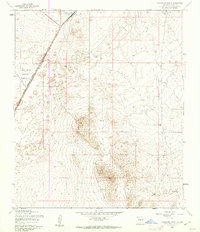
1955 Map of Orogrande South
USGS Topo · Published 1962About this map
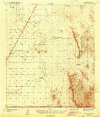
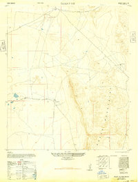
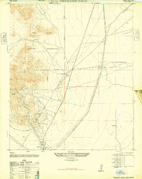
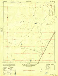
Orogrande stands at the northern edge of this arid landscape, a small settlement positioned along the critical transit corridor of the Southern Pacific railroad. In the mid-1950s, the surrounding terrain is defined by its military and pastoral utility, with a significant portion of the western territory falling within the Fort Bliss Military Reservation. The Military Reservation Boundary cuts a sharp line through the desert floor, separating restricted federal lands from the open range where water infrastructure was vital for survival. Small, isolated features like Sulphur Tank and Road Tank provide clues to the hydraulic management of this dry environment, while a local Cem near the settlement offers a specific point of interest for those researching the early residents and families of this Otero County outpost.
Find a feature on this map
7 named features on this map. Tap any name to fly to it.
Don’t see what you’re looking for? This feature index may not catch every label — zoom into the map to look around manually.
Map Details
Editions of this 1955 Orogrande South Map
2 editions found
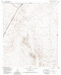
Other maps of this area

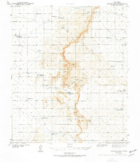
1940 · Bassett Lake
USGS Topo · 1:62,500
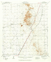
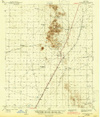
1940 · Orogrande
USGS Topo · 1:62,500
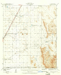
1941 · Desert
USGS Topo · 1:62,500
1943 · Pendejo Wash
USGS Topo · 1:62,500
1943 · Desert
USGS Topo · 1:62,500
1943 · Bassett Lake
USGS Topo · 1:62,500
1943 · Orogrande
USGS Topo · 1:62,500
1947 · Desert NE
USGS Topo · 1:24,000
1947 · Orogrande North
USGS Topo · 1:24,000
1948 · El Wood
USGS Topo · 1:24,000