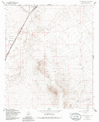
1955 Map of Orogrande South
USGS Topo · Published 1986About this map
The high desert flats of the Tularosa Basin are defined here by the presence of the Southern Pacific railroad, which runs parallel to the Military Reservation Boundary. The small settlement of Orogrande sits near the northern edge of the map, serving as a focal point for local history along the rail line. Just outside the settlement, a Cem is noted, providing a specific point of interest for genealogical research in this arid landscape.
Find a feature on this map
9 named features on this map. Tap any name to fly to it.
Don’t see what you’re looking for? This feature index may not catch every label — zoom into the map to look around manually.
Map Details
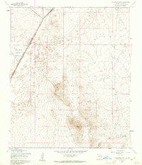
Editions of this 1955 Orogrande South Map
2 editions found
Other maps of this area

1940 · Bassett Lake
USGS Topo · 1:62,500

1940 · Orogrande
USGS Topo · 1:62,500

1941 · Desert
USGS Topo · 1:62,500

1943 · Pendejo Wash
USGS Topo · 1:62,500

1943 · Desert
USGS Topo · 1:62,500

1943 · Bassett Lake
USGS Topo · 1:62,500

1943 · Orogrande
USGS Topo · 1:62,500

1947 · Desert NE
USGS Topo · 1:24,000

1947 · Orogrande North
USGS Topo · 1:24,000

1948 · El Wood
USGS Topo · 1:24,000