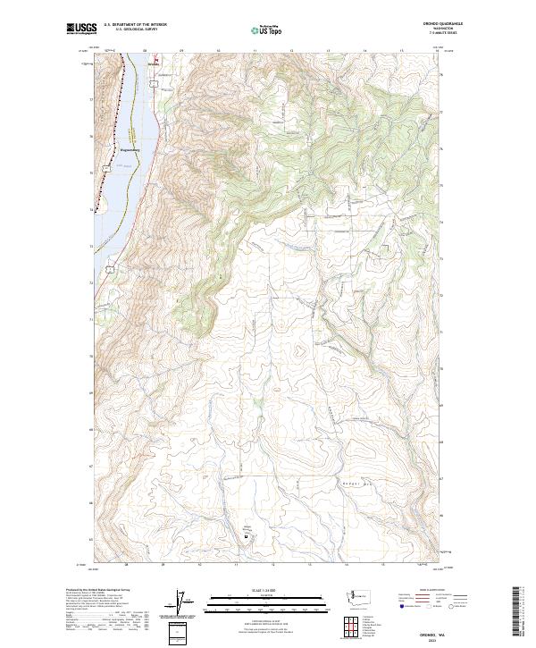
2023 Map of Orondo
USGS Topo · Published 2023About this map
Orondo and Wagnersburg sit along the eastern bank of the Columbia River at the foot of high plateau country. This landscape is defined by the sharp vertical rise from Lake Entiat toward the summit of Badger Mtn and the neighboring Entiat Mountains. The map reveals a transition from the riparian activity of the river valley to the complex network of canyons and ridges further inland, including the deep cut of McGinnis Canyon.
Find a feature on this map
59 named features on this map. Tap any name to fly to it.
Don’t see what you’re looking for? This feature index may not catch every label — zoom into the map to look around manually.
Map Details
Editions of this 2023 Orondo Map
This is the sole edition of this map. No revisions or reprints were ever made.
Other maps of this area

1901 · Chelan
USGS Topo · 1:125,000

1912 · Malaga
USGS Topo · 1:48,000

1913 · Wenatchee
USGS Topo · 1:62,500

1914 · Malaga
USGS Topo · 1:62,500

1915 · Wenatchee
USGS Topo · 1:62,500

1920 · Colockum Pass
USGS Topo · 1:125,000

1922 · Colockum Pass
USGS Topo · 1:125,000

1957 · Wenatchee
USGS Topo · 1:250,000
1966 · Malaga NE
USGS Topo · 1:24,000

1966 · Rock Island
USGS Topo · 1:24,000