
1991 Map of Orovada
USGS Topo · Published 1991About this map
The Quinn River Valley serves as the focal point of this arid agricultural and ranching landscape in northern Nevada. By the late twentieth century, the small settlement of Orovada anchored a network of scattered ranching outposts, including Rebel Creek Ranch and Buffalo Ranch, positioned where desert drainages like Rebel Creek and Wood Canyon Creek emerge from the slopes of Sawtooth Mountain.
Find a feature on this map
29 named features on this map. Tap any name to fly to it.
Don’t see what you’re looking for? This feature index may not catch every label — zoom into the map to look around manually.
Map Details
Editions of this 1991 Orovada Map
This is the sole edition of this map. No revisions or reprints were ever made.
Other maps of this area

1882 · Paradise
USGS Topo · 1:250,000

1893 · Paradise
USGS Topo · 1:250,000

1955 · McDermitt
USGS Topo · 1:250,000

1958 · Paradise Valley
USGS Topo · 1:62,500

1958 · Awakening Peak
USGS Topo · 1:62,500

1959 · McDermitt
USGS Topo · 1:250,000

1959 · Orovada
USGS Topo · 1:62,500

1959 · Hinkey Summit
USGS Topo · 1:62,500
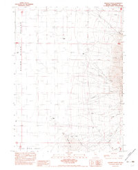
1982 · Andorno Ranch
USGS Topo · 1:24,000
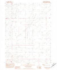
1982 · Gallagher Flat
USGS Topo · 1:24,000