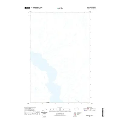
2020 Map of Oroville OE N
USGS Topo · Published 2020About this map
Hydrological patterns and international boundaries define this 2020 topographic survey of the region north of Oroville. The map is dominated by the northern reaches of a large lake system that straddles the border with Canada, showing the complex shoreline and various inlets that characterize the local geography. Numerous unnamed streams and drainage basins feed into the main water body from the surrounding higher elevations, illustrating the natural watershed of the Okanogan area. While this specific quadrangle focuses primarily on the aquatic landscape and terrain, it serves as a precise record of the international line as it was delineated in the early twenty-first century.
Find a feature on this map
1 named feature on this map. Tap any name to fly to it.
Don’t see what you’re looking for? This feature index may not catch every label — zoom into the map to look around manually.
Map Details
Editions of this 2020 Oroville OE N Map
This is the sole edition of this map. No revisions or reprints were ever made.
Other maps of this area

1902 · Osoyoos
USGS Topo · 1:125,000

1904 · Osoyoos
USGS Topo · 1:125,000

1906 · Chopaka
USGS Topo · 1:125,000

1954 · Okanogan
USGS Topo · 1:250,000

1956 · Loomis
USGS Topo · 1:62,500

1957 · Oroville
USGS Topo · 1:62,500

1958 · Okanogan
USGS Topo · 1:250,000

1975 · Oroville NW
USGS Topo · 1:24,000

1981 · Mount Hull
USGS Topo · 1:24,000
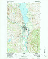
1982 · Oroville
USGS Topo · 1:24,000