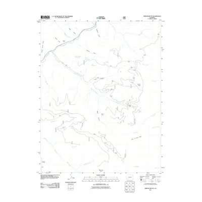
2011 Map of Orphan Butte
USGS Topo · Published 2011About this map
The Dolores River cuts through the northern reach of this 2011 survey, winding past the Truelson Ranch and several draws and gulches. The landscape is defined by its complex drainage network and water management, featuring high-altitude catchments like the Last Chance Reservoir, Park Reservoir, and Ridgetop Reservoir. Toward the south, the terrain descends into the Bear Creek Basin, where the Gold Run Trailhead provides access to the backcountry near Grindstone Lake.
Find a feature on this map
35 named features on this map. Tap any name to fly to it.
Don’t see what you’re looking for? This feature index may not catch every label — zoom into the map to look around manually.
Map Details
Editions of this 2011 Orphan Butte Map
This is the sole edition of this map. No revisions or reprints were ever made.
Other maps of this area
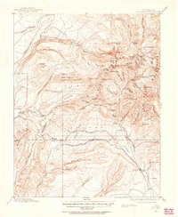
1895 · La Plata
USGS Topo · 1:62,500
1897 · La Plata
USGS Topo · 1:62,500
1897 · Rico
USGS Topo · 1:62,500
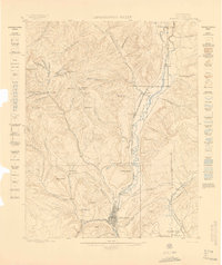
1898 · Durango
USGS Topo · 1:62,500
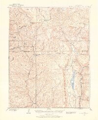
1898 · Engineer Mountain
USGS Topo · 1:62,500
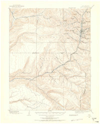
1898 · Rico
USGS Topo · 1:62,500
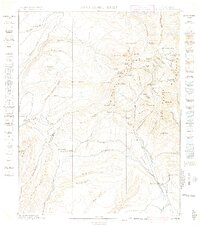
1899 · La Plata
USGS Topo · 1:62,500
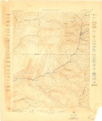
1899 · Rico
USGS Topo · 1:62,500
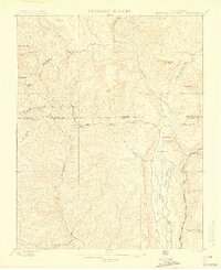
1900 · Engineer Mountain
USGS Topo · 1:62,500
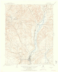
1907 · Durango
USGS Topo · 1:62,500