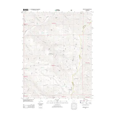
2013 Map of Orphan Butte
USGS Topo · Published 2013About this map
Truelson Ranch and the winding course of the Dolores River anchor the northwestern corner of this high-altitude landscape, where the boundaries of Montezuma and La Plata counties intersect. Much of the region is contained within the San Juan National Forest, characterized by a complex network of canyons and draws such as East Canyon, Waechter Gulch, and Rough Canyon. The terrain rises toward Indian Trail Ridge in the southeast, a significant geographical feature overlooking Bear Creek Basin.
Find a feature on this map
63 named features on this map. Tap any name to fly to it.
Don’t see what you’re looking for? This feature index may not catch every label — zoom into the map to look around manually.
Map Details
Editions of this 2013 Orphan Butte Map
This is the sole edition of this map. No revisions or reprints were ever made.
Other maps of this area
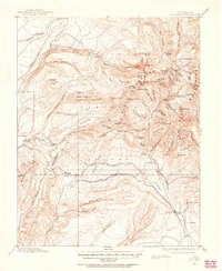
1895 · La Plata
USGS Topo · 1:62,500
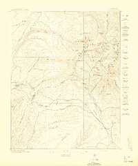
1897 · La Plata
USGS Topo · 1:62,500
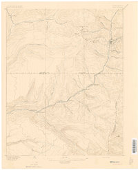
1897 · Rico
USGS Topo · 1:62,500
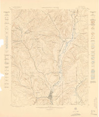
1898 · Durango
USGS Topo · 1:62,500
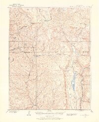
1898 · Engineer Mountain
USGS Topo · 1:62,500
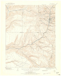
1898 · Rico
USGS Topo · 1:62,500
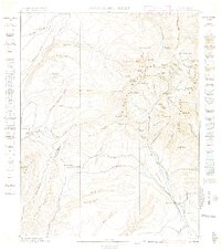
1899 · La Plata
USGS Topo · 1:62,500
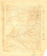
1899 · Rico
USGS Topo · 1:62,500
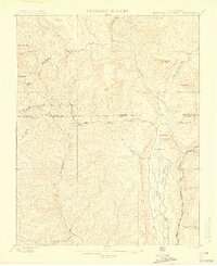
1900 · Engineer Mountain
USGS Topo · 1:62,500
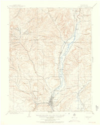
1907 · Durango
USGS Topo · 1:62,500