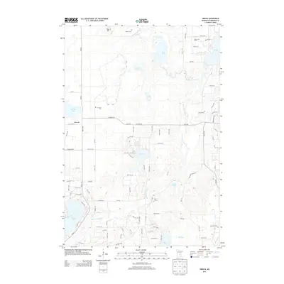
2013 Map of Orrock
USGS Topo · Published 2013About this map
The Saint Francis River winds through this Sherburne County landscape, defining a network of wetlands and pools including Pool 14 and Pool 19. The terrain is marked by a high concentration of small family and community burial grounds, such as Galbraith Cem, Two Stone Cem, and Svea Hill Cem, which suggest a long-established rural settlement pattern typical of the region's agricultural history. Near the center of the sheet, the Sand Dunes Lookout Tower stands as a prominent landmark north of Lake Ann. In the northeast corner, a transition occurs from the river bottomlands to the shores of Elk Lake and the Camp in the Woods recreational area. The small settlement of Orrock serves as a local hub, connected by a grid of rural routes like 261st Ave NW that navigate around prominent glacial features like Blue Hill.
Find a feature on this map
90 named features on this map. Tap any name to fly to it.
Don’t see what you’re looking for? This feature index may not catch every label — zoom into the map to look around manually.
Map Details
Editions of this 2013 Orrock Map
This is the sole edition of this map. No revisions or reprints were ever made.
Other maps of this area

1953 · Stillwater
USGS Topo · 1:250,000

1955 · Stillwater
USGS Topo · 1:250,000

1958 · Stillwater
USGS Topo · 1:250,000

1961 · Big Lake
USGS Topo · 1:24,000

1961 · Orrock
USGS Topo · 1:24,000

1961 · Lake Fremont
USGS Topo · 1:24,000

1961 · Elk River
USGS Topo · 1:24,000

1961 · Monticello
USGS Topo · 1:24,000

1961 · Becker
USGS Topo · 1:24,000

1961 · Monticello
USGS Topo · 1:62,500