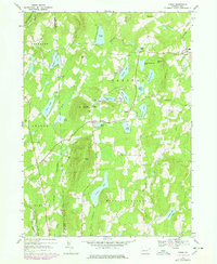
1968 Map of Orson
USGS Topo · Published 1978About this map
The Wayne County highlands are defined by a dense network of glacial lakes and the headwaters of the Lackawanna River system in the late 1960s. High points like Mount Ararat and Sugarloaf Mountain overlook a landscape where small settlements such as Orson and Poyntelle are linked by the winding paths of the D & H Erie-Lackawanna and various segments of Old Railroad Grade. This topography reflects the region's transition from a rail-dependent rural economy to a recreational and agricultural landscape, evidenced by the numerous named water bodies including Belmont Lake, Lake Lorain, and Independent Lake. Local life is anchored at Orson Ch and the Township Sch near Lakewood, while the western edge of the sheet follows the boundary between Wayne Co and Susquehanna Co.
Find a feature on this map
52 named features on this map. Tap any name to fly to it.
Don’t see what you’re looking for? This feature index may not catch every label — zoom into the map to look around manually.
Map Details
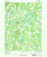
Editions of this 1968 Orson Map
2 editions found
Other maps of this area

1892 · Honesdale
USGS Topo · 1:62,500

1892 · Dundaff
USGS Topo · 1:62,500

1924 · Starrucca
USGS Topo · 1:48,000

1926 · Starrucca
USGS Topo · 1:62,500

1930 · Starrucca
USGS Topo · 1:48,000

1932 · Susquehanna
USGS Topo · 1:62,500

1933 · Starrucca
USGS Topo · 1:62,500

1935 · Susquehanna
USGS Topo · 1:62,500

1943 · Honesdale
USGS Topo · 1:125,000

1946 · Forest City
USGS Topo · 1:24,000