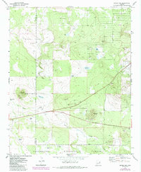
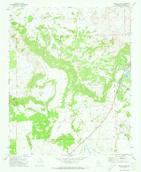
1971 Map of Ortega Mountain
USGS Topo · Published 1985About this map
Ortega Mtn dominates this high-altitude landscape in eastern Arizona, marking a transition point within the Sitgreaves National Forest. The geography is defined by volcanic features and high-desert basins, most notably the White Lakes Basin and several cinder-coned landmarks like Dobbins Knoll. Water management in this arid environment is evident through a network of livestock tanks and small seasonal lakes, including Mannerheim Tank, Ortega Lake, and Boca Lake. The drainage patterns of Brown Creek and Ortega Draw suggest the importance of surface water flow for the local ranching and forest management efforts. The presence of multiple Cinder Pits and a Borrow Pit indicates local mineral extraction, likely for road maintenance and surfacing. The border between Navajo and Apache Counties bisects the terrain, illustrating the jurisdictional divide in this forested region.
Find a feature on this map
25 named features on this map. Tap any name to fly to it.
Don’t see what you’re looking for? This feature index may not catch every label — zoom into the map to look around manually.
Map Details
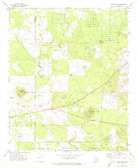
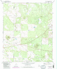
Editions of this 1971 Ortega Mountain Map
3 editions found
Other maps of this area

1886 · St Johns
USGS Topo · 1:250,000

1892 · St Johns
USGS Topo · 1:250,000

1954 · Saint Johns
USGS Topo · 1:250,000

1957 · Saint Johns
USGS Topo · 1:250,000

1958 · Saint Johns
USGS Topo · 1:250,000

1961 · McNary
USGS Topo · 1:62,500

1962 · Saint Johns
USGS Topo · 1:250,000

1968 · Boundary Butte
USGS Topo · 1:24,000
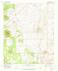
1971 · Vernon
USGS Topo · 1:24,000
1971 · Concho Lake
USGS Topo · 1:24,000