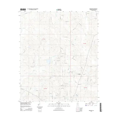
2015 Map of Orvisburg
USGS Topo · Published 2015About this map
Orvisburg and the surrounding piney woods of southern Mississippi are defined by a dense network of watercourses and family-named roads. The settlement is centered near Orvisburg Lake, with the Orvisburg Cem located just to the east. This 2015 survey reveals a landscape of working timberlands and rural homesteads, where the drainages of Wolf Cr and Little Hell Cr dictate the local geography. Numerous small tributaries like White Sand Cr and Hickory Cr feed into the larger system of W Hobolochitto Cr.
Find a feature on this map
75 named features on this map. Tap any name to fly to it.
Don’t see what you’re looking for? This feature index may not catch every label — zoom into the map to look around manually.
Map Details
Editions of this 2015 Orvisburg Map
This is the sole edition of this map. No revisions or reprints were ever made.
Other maps of this area

1953 · Hattiesburg
USGS Topo · 1:250,000

1953 · Mobile
USGS Topo · 1:250,000
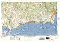
1957 · Mobile
USGS Topo · 1:250,000

1958 · Hattiesburg
USGS Topo · 1:250,000
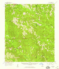
1958 · Carnes
USGS Topo · 1:62,500
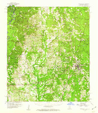
1959 · Poplarville
USGS Topo · 1:62,500
1960 · Mobile
USGS Topo · 1:250,000
1963 · Mobile
USGS Topo · 1:250,000
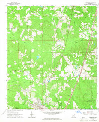
1964 · Lumberton
USGS Topo · 1:24,000
1965 · Mobile
USGS Topo · 1:250,000