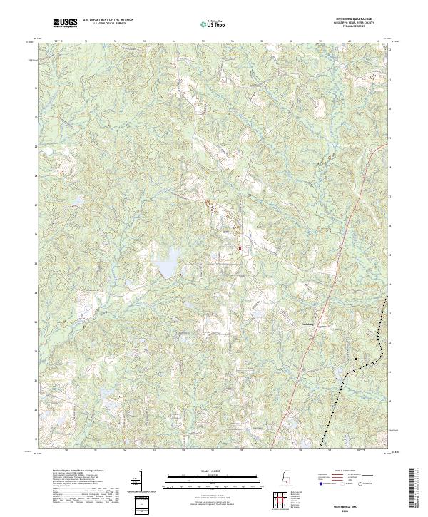
2024 Map of Orvisburg
USGS Topo · Published 2024About this map
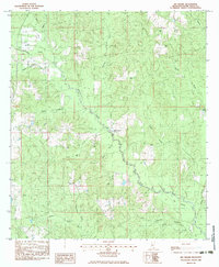
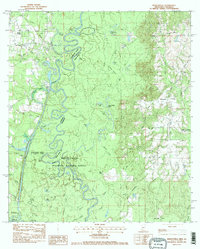
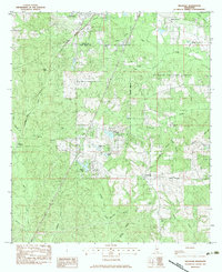
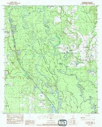
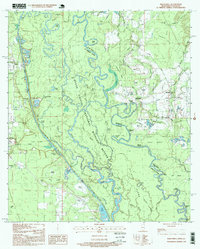
Orvisburg and its surrounding landscape are defined by a complex network of waterways and timbered wetlands in Pearl River County. The topography is shaped by the southward flow of West Hobolochitto Creek and Beaverdam Creek, with Orvisburg Lake serving as a central point of interest just south of the main settlement area. For those researching family ties to this part of Mississippi, the Orvisburg Cem remains a primary landmark. The road network, including Baxterville Rd and Stanford Lake Rd, navigates around numerous drainage features like Little Hell Creek, White Sand Creek, and the swampy grounds of Green Brake. This modern survey reveals how the local geography continues to be dictated by the creeks and branches that have historically supported the region's agricultural and rural character.
Find a feature on this map
72 named features on this map. Tap any name to fly to it.
Don’t see what you’re looking for? This feature index may not catch every label — zoom into the map to look around manually.
Map Details
Editions of this 2024 Orvisburg Map
This is the sole edition of this map. No revisions or reprints were ever made.
Historical Maps of Orvisburg Through Time
26 maps found
1958 Carnes
Pearl River County, MS
1976 Sun NE
Pearl River County, MS
1982 Savannah
Pearl River County, MS
1983 Big Swamp
Pearl River County, MS
1983 Henleyfield
Pearl River County, MS
1983 Hillsdale
Pearl River County, MS
1983 Industrial
Pearl River County, MS
1986 Caesar
Pearl River County, MS
1986 Fords Creek
Pearl River County, MS
1986 McNeill
Pearl River County, MS
1986 Millard
Pearl River County, MS
1986 Orvisburg
Pearl River County, MS
1986 White Sand
Pearl River County, MS
1997 Industrial
Pearl River County, MS
2000 Hillsdale
Pearl River County, MS
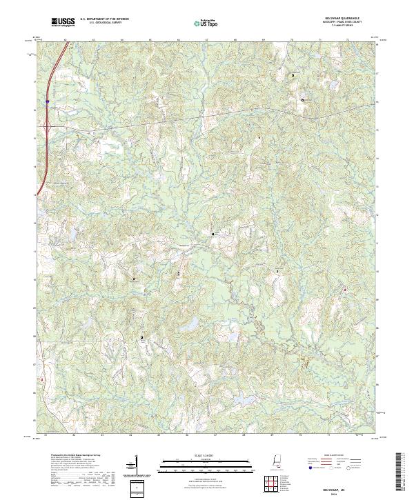
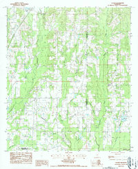
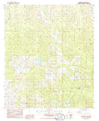
2024 Big Swamp
Pearl River County, MS
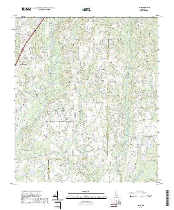
2024 Caesar
Pearl River County, MS
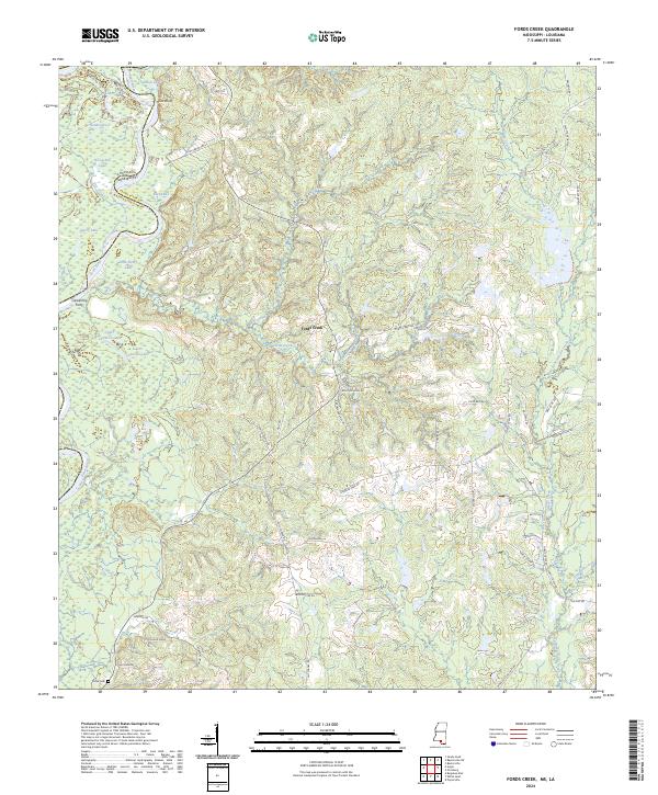
2024 Fords Creek
Pearl River County, MS
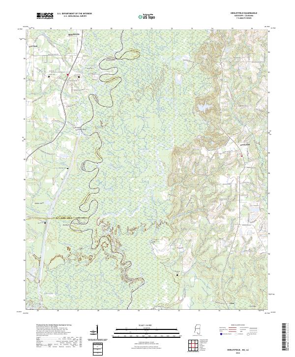
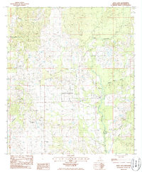
2024 Henleyfield
Pearl River County, MS
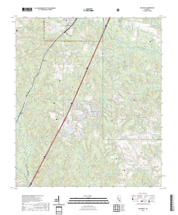
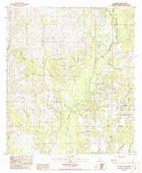
2024 Hillsdale
Pearl River County, MS
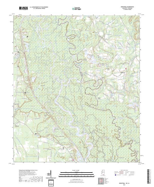
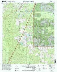
2024 Industrial
Pearl River County, MS
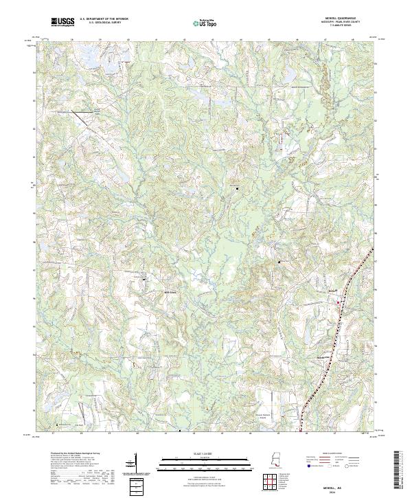
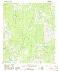
2024 McNeill
Pearl River County, MS
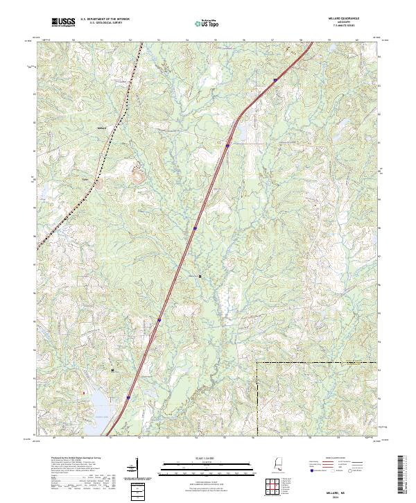
2024 Millard
Pearl River County, MS
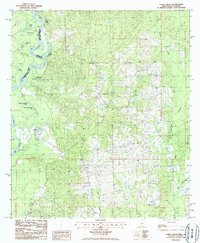
2024 Orvisburg
Pearl River County, MS
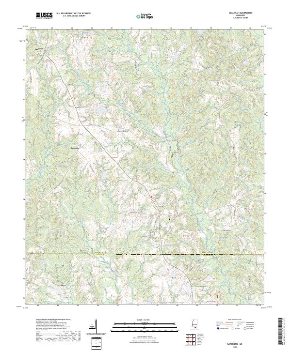
2024 Savannah
Pearl River County, MS
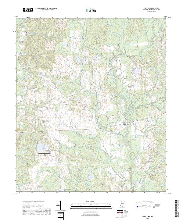
2024 White Sand
Pearl River County, MS