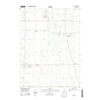
2013 Map of Orwell
USGS Topo · Published 2013About this map
Rock Creek winds through a landscape of established agricultural tradition and rural crossroads in southern Ashtabula County. This modern survey details the geographic layout of several historically distinct townships, anchored by the village of Orwell and the residential area of Asbury Park along the southern corridor. The northern section is defined by the artificial waters of Lake Roaming Rock and the surrounding community of Roaming Shores, while the central map area preserves the identity of smaller hamlets such as Dodgeville and New Lyme Station. Numerous family farms, including Stackhouse Farm and Teegarden Farm, are clearly marked, illustrating the persistent agricultural character of the region. Local history is further traced through several burial grounds, from the North Cem to the S Orwell Cem, providing a precise record of the area's civil and genealogical heritage near the intersection of Us-6 and US-322.
Find a feature on this map
91 named features on this map. Tap any name to fly to it.
Don’t see what you’re looking for? This feature index may not catch every label — zoom into the map to look around manually.
Map Details
Editions of this 2013 Orwell Map
This is the sole edition of this map. No revisions or reprints were ever made.
Other maps of this area

1905 · Andover
USGS Topo · 1:48,000

1905 · Bristolville
USGS Topo · 1:62,500

1905 · Jefferson
USGS Topo · 1:62,500

1907 · Andover
USGS Topo · 1:62,500

1907 · Kinsman
USGS Topo · 1:62,500

1907 · Bristolville
USGS Topo · 1:62,500

1907 · Jefferson
USGS Topo · 1:62,500

1950 · Cleveland
USGS Topo · 1:250,000

1952 · West Farmington
USGS Topo · 1:24,000

1956 · Cleveland
USGS Topo · 1:250,000
Featured Places
- Morgan Township, OH
- Rome, OH
- Orwell, Orwell Village
- Bloomfield Township, OH
- Roaming Shores, Morgan Township