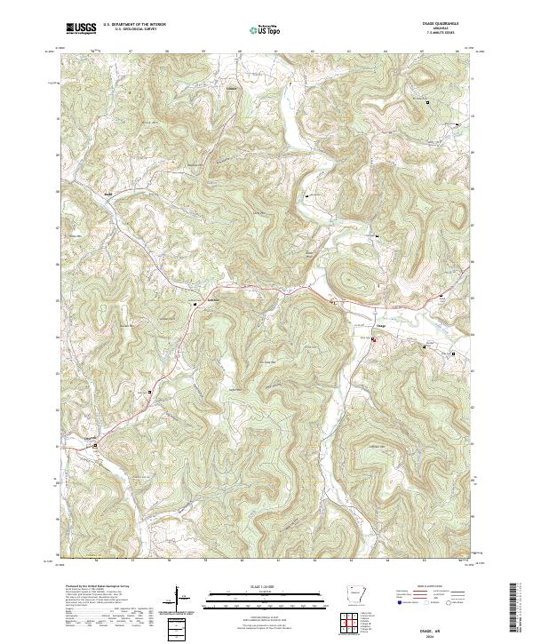
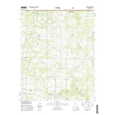
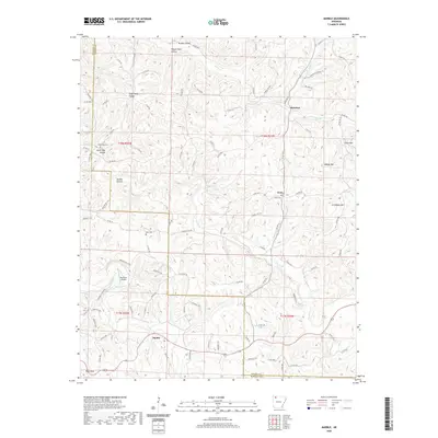
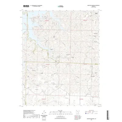
2024 Map of Osage
USGS Topo · Published 2024About this map
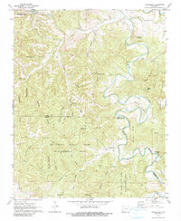
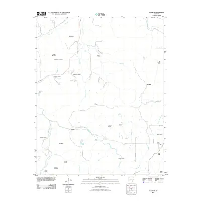
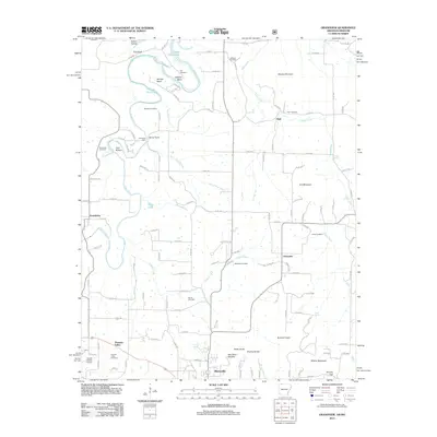
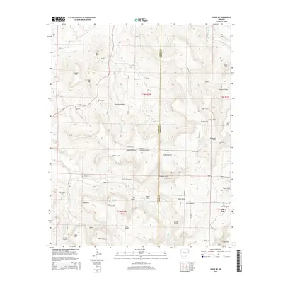
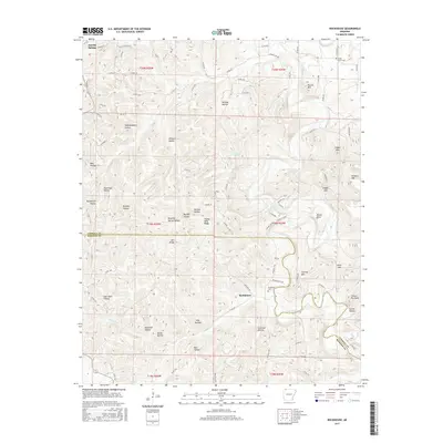
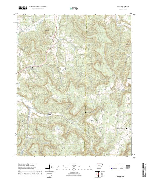
Osage and Gobbler anchor this corner of the Ozark mountains, where the drainage of Osage Creek and Piney Creek dictates the movement of people and roads. The landscape is defined by its numerous family-named cemeteries and high points, including Mc Gehee Cem, Fancher Cem, and Sisco Cem, which provide a clear record of local lineage across the hills. The terrain is deeply dissected by hollows such as Pine Hollow, Sally Hollow, and Miller Hollow, creating a complex network of ridges that include Black Mtn, Dewees Mtn, and Coffman Mtn. This geography historically isolated these small settlements, preserving a traditional rural Arkansas layout. To the west, the community of Dryfork sits near the confluence of Tan Yard Branch and Dry Fork, illustrating how early pioneers utilized even the smallest water sources for homesteading and industry.
Find a feature on this map
98 named features on this map. Tap any name to fly to it.
Don’t see what you’re looking for? This feature index may not catch every label — zoom into the map to look around manually.
Map Details
Editions of this 2024 Osage Map
This is the sole edition of this map. No revisions or reprints were ever made.
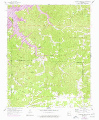
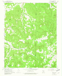
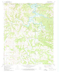
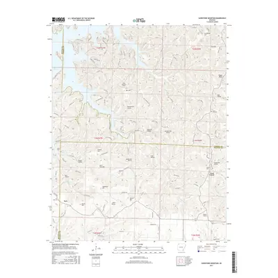
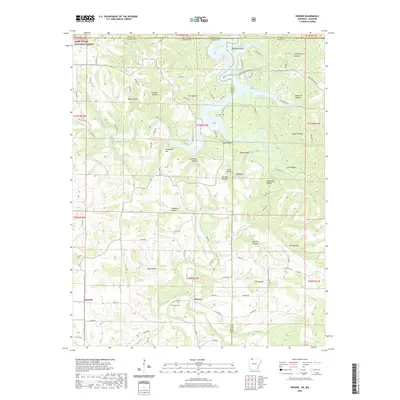
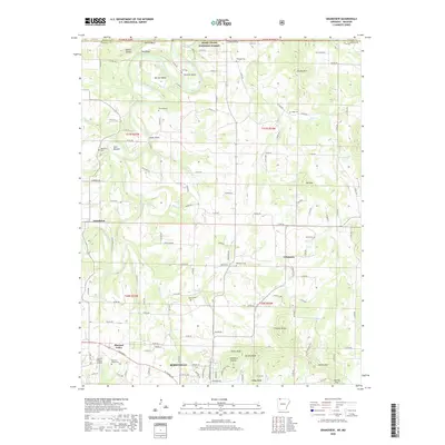
Historical Maps of Osage Through Time
42 maps found
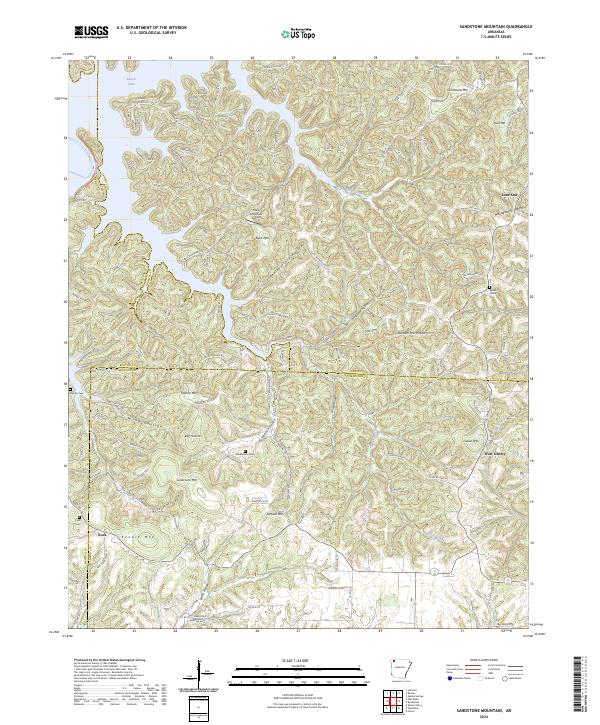
1957 Sandstone Mountain
Carroll County, AR

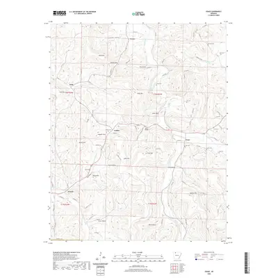
1968 Osage
Carroll County, AR
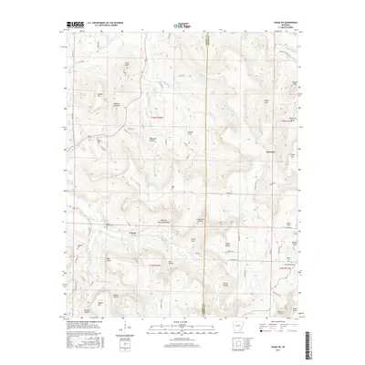
1968 Osage NE
Carroll County, AR
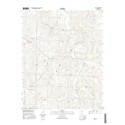
1972 Denver
Carroll County, AR

1972 Grandview
Carroll County, AR
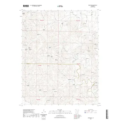
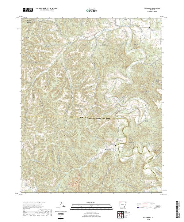
1972 Rockhouse
Carroll County, AR
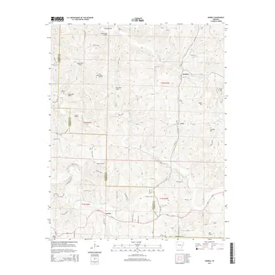
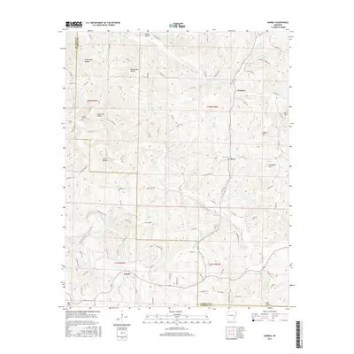
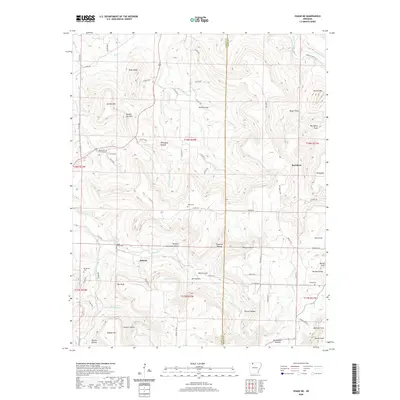
1973 Marble
Carroll County, AR
2011 Marble
Carroll County, AR
2011 Osage
Carroll County, AR
2011 Osage NE
Carroll County, AR
2011 Rockhouse
Carroll County, AR
2011 Sandstone Mountain
Carroll County, AR
2012 Denver
Carroll County, AR
2012 Grandview
Carroll County, AR
2014 Denver
Carroll County, AR
2014 Grandview
Carroll County, AR
2014 Marble
Carroll County, AR

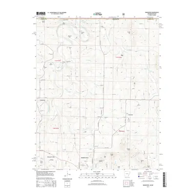
2014 Osage
Carroll County, AR
2014 Osage NE
Carroll County, AR
2014 Rockhouse
Carroll County, AR
2014 Sandstone Mountain
Carroll County, AR
2017 Denver
Carroll County, AR
2017 Grandview
Carroll County, AR
2017 Marble
Carroll County, AR
2017 Osage
Carroll County, AR
2017 Osage NE
Carroll County, AR
2017 Rockhouse
Carroll County, AR
2017 Sandstone Mountain
Carroll County, AR
2020 Denver
Carroll County, AR
2020 Grandview
Carroll County, AR
2020 Marble
Carroll County, AR
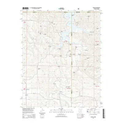
2020 Osage
Carroll County, AR
2020 Osage NE
Carroll County, AR
2020 Rockhouse
Carroll County, AR
2020 Sandstone Mountain
Carroll County, AR
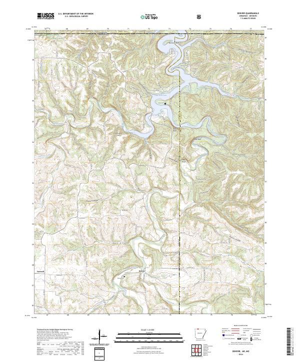
2024 Denver
Carroll County, AR
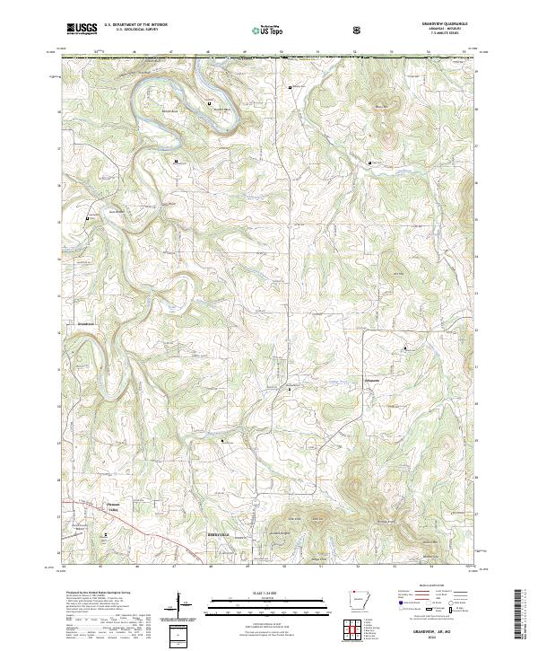
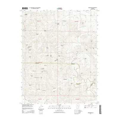
2024 Grandview
Carroll County, AR
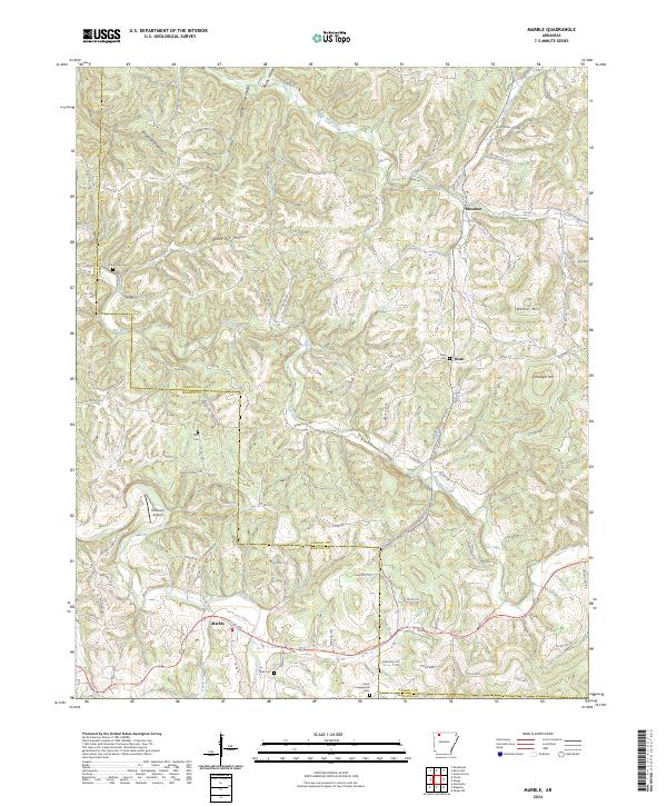
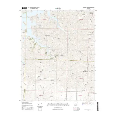
2024 Marble
Carroll County, AR
2024 Osage
Carroll County, AR
2024 Osage NE
Carroll County, AR
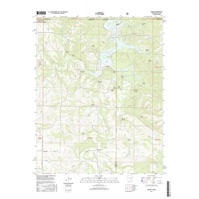
2024 Rockhouse
Carroll County, AR
2024 Sandstone Mountain
Carroll County, AR