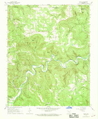
1967 Map of Ponca
USGS Topo · Published 1968About this map
The Buffalo River carves a dramatic path through this section of the Ozarks, creating a landscape defined by sharp elevation changes and numerous bluffs such as Bee Bluff and Big Bluff. In the late 1960s, the settlement at Ponca and the adjacent Lost Valley State Park represent the intersection of local community life and emerging conservation efforts. The map reveals a network of dispersed homesteads and rural institutions, including Mountain Springs Ch and several small family cemeteries like McFerrin Cem.
Find a feature on this map
82 named features on this map. Tap any name to fly to it.
Don’t see what you’re looking for? This feature index may not catch every label — zoom into the map to look around manually.
Map Details
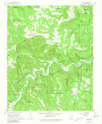
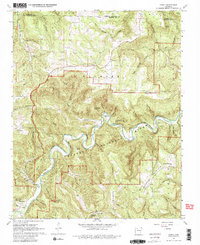
Editions of this 1967 Ponca Map
3 editions found
Other maps of this area

1904 · Harrison
USGS Topo · 1:125,000

1905 · Harrison
USGS Topo · 1:125,000

1933 · Mt Judea
USGS Topo · 1:62,500

1940 · Mt Judea
USGS Topo · 1:62,500

1945 · Harrison
USGS Topo · 1:250,000

1949 · Harrison
USGS Topo · 1:250,000

1954 · Harrison
USGS Topo · 1:250,000

1956 · Russellville
USGS Topo · 1:250,000

1958 · Harrison
USGS Topo · 1:250,000

1964 · Russellville
USGS Topo · 1:250,000