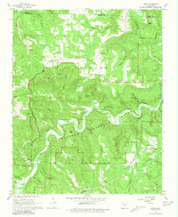
1967 Map of Ponca
USGS Topo · Published 1981About this map
The Buffalo National River carves a deep path through the heart of the Ozarks, shown here during a transitional era for the region's conservation and land use. The map details the early footprints of Lost Valley State Park and the scattered mountain settlements of Ponca, Compton, and Beechwood. This 1960s survey provides a detailed look at the rural social geography of the limestone plateau, documenting numerous small churches and burial sites like Mountain Springs Ch and the Mount Sherman Cem. Local industry is reflected in several mines and a gravel pit along the riverbanks, while the intricate system of hollows—including Adda Creek and Gossett Hollow—reveals the complex drainage patterns that feed the Buffalo River. Landmark features like the Compton Lookout Tower and Bee Bluff offer specific points of orientation within this densely wooded terrain.
Find a feature on this map
91 named features on this map. Tap any name to fly to it.
Don’t see what you’re looking for? This feature index may not catch every label — zoom into the map to look around manually.
Map Details
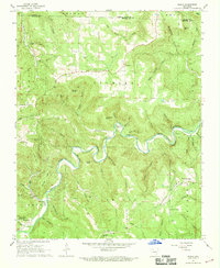
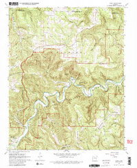
Editions of this 1967 Ponca Map
3 editions found
Other maps of this area

1904 · Harrison
USGS Topo · 1:125,000

1905 · Harrison
USGS Topo · 1:125,000

1933 · Mt Judea
USGS Topo · 1:62,500

1940 · Mt Judea
USGS Topo · 1:62,500

1945 · Harrison
USGS Topo · 1:250,000

1949 · Harrison
USGS Topo · 1:250,000

1954 · Harrison
USGS Topo · 1:250,000

1956 · Russellville
USGS Topo · 1:250,000

1958 · Harrison
USGS Topo · 1:250,000

1964 · Russellville
USGS Topo · 1:250,000