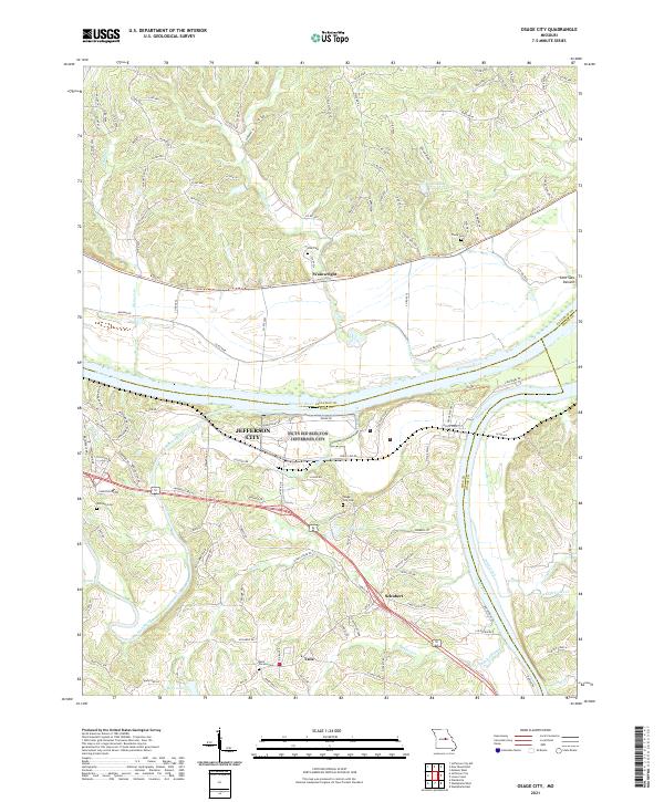
2021 Map of Osage City
USGS Topo · Published 2021About this map
Jefferson City sits at a strategic bend where the Missouri River meets the Osage River, a landscape defined by the convergence of these major waterways and the rolling ridges of Callaway Co and Cole Co. The area reflects a deep-rooted Missouri settlement pattern, with smaller communities like Taos and Schubert positioned on the uplands while the historic rail corridor of the Katy Trl follows the northern bank of the Missouri.
Find a feature on this map
136 named features on this map. Tap any name to fly to it.
Don’t see what you’re looking for? This feature index may not catch every label — zoom into the map to look around manually.
Map Details
Editions of this 2021 Osage City Map
This is the sole edition of this map. No revisions or reprints were ever made.
Other maps of this area

1886 · Jefferson City
USGS Topo · 1:125,000

1888 · Tuscumbia
USGS Topo · 1:125,000

1890 · Fulton
USGS Topo · 1:125,000

1894 · Tuscumbia
USGS Topo · 1:125,000

1894 · Jefferson City
USGS Topo · 1:125,000

1934 · Linn
USGS Topo · 1:48,000

1939 · Jefferson City
USGS Topo · 1:24,000

1939 · Jefferson City
USGS Topo · 1:62,500

1942 · Jefferson City
USGS Topo · 1:62,500

1942 · Linn
USGS Topo · 1:62,500