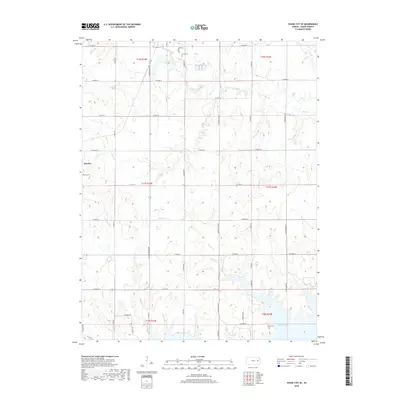
2018 Map of Osage City SE
USGS Topo · Published 2018About this map
Melvern Lake dominates the southern edge of this Osage County landscape, where the prairie meets controlled waters. The small settlement of Barclay sits in the western reaches, accompanied by the Barclay Cem, providing a focal point for genealogical research in this rural corridor. The terrain is defined by a dendritic network of waterways, including Salt Cr, Mute Cr, and Turkey Cr, which carve through the agricultural sections and influence the placement of the local road grid.
Find a feature on this map
45 named features on this map. Tap any name to fly to it.
Don’t see what you’re looking for? This feature index may not catch every label — zoom into the map to look around manually.
Map Details
Editions of this 2018 Osage City SE Map
This is the sole edition of this map. No revisions or reprints were ever made.
Other maps of this area
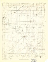
1885 · Burlington
USGS Topo · 1:125,000
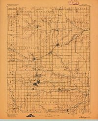
1889 · Burlingame
USGS Topo · 1:125,000
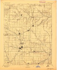
1894 · Burlingame
USGS Topo · 1:125,000
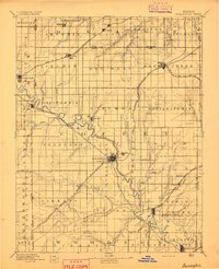
1894 · Burlington
USGS Topo · 1:125,000
1947 · Lawrence
USGS Topo · 1:250,000
1950 · Lawrence
USGS Topo · 1:250,000
1956 · Lawrence
USGS Topo · 1:250,000
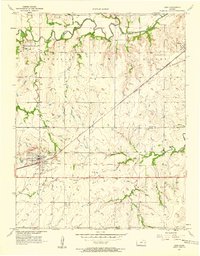
1957 · Lebo
USGS Topo · 1:24,000
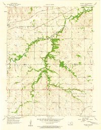
1957 · Waverly NW
USGS Topo · 1:24,000
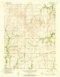
1957 · Lebo NW
USGS Topo · 1:24,000