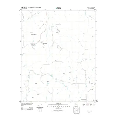
2011 Map of Osage NE
USGS Topo · Published 2011About this map
Delmar and the crossroads of Hill Top anchor this rural landscape in the Ozark Mountains of Boone County as it appeared in 2011. The terrain is defined by a dense network of drainages including Osage Creek, Long Creek, and Possum Trot Creek, which have carved out distinct named features such as Winding Staircase Hollow and Whooping Hollow. For genealogists, the map identifies several burial grounds across the area, including McMillion Cemetery near the west edge and Hilltop Cemetery in the east.
Find a feature on this map
69 named features on this map. Tap any name to fly to it.
Don’t see what you’re looking for? This feature index may not catch every label — zoom into the map to look around manually.
Map Details
Editions of this 2011 Osage NE Map
This is the sole edition of this map. No revisions or reprints were ever made.
Other maps of this area

1904 · Harrison
USGS Topo · 1:125,000

1905 · Harrison
USGS Topo · 1:125,000

1945 · Harrison
USGS Topo · 1:250,000

1949 · Harrison
USGS Topo · 1:250,000

1954 · Harrison
USGS Topo · 1:250,000

1958 · Harrison
USGS Topo · 1:250,000

1964 · Harrison
USGS Topo · 1:250,000
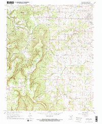
1967 · Gaither
USGS Topo · 1:24,000
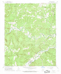
1967 · Jasper
USGS Topo · 1:24,000
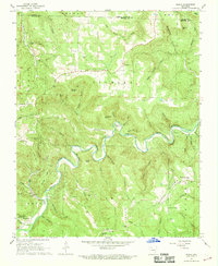
1967 · Ponca
USGS Topo · 1:24,000