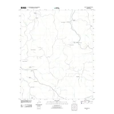
2011 Map of Osage SW
USGS Topo · Published 2011About this map
Kenner Creek and the Dry Fork define the dendritic drainage patterns of this Ozark landscape, where small crossroads communities and family-named hollows mark the rugged terrain. Small settlements like George, Stoverville, and Dinsmore appear as quiet clusters of activity connected by a network of county roads. The prominence of family and community landmarks is evident at Hopewell Cemetery, while the physical geography is dominated by notable peaks such as Bradshaw Mountain, Logan Mountain, and Arms Mountain.
Find a feature on this map
49 named features on this map. Tap any name to fly to it.
Don’t see what you’re looking for? This feature index may not catch every label — zoom into the map to look around manually.
Map Details
Editions of this 2011 Osage SW Map
This is the sole edition of this map. No revisions or reprints were ever made.
Other maps of this area

1900 · Eureka Springs
USGS Topo · 1:125,000

1901 · Eureka Springs
USGS Topo · 1:125,000

1904 · Harrison
USGS Topo · 1:125,000

1905 · Harrison
USGS Topo · 1:125,000

1945 · Harrison
USGS Topo · 1:250,000

1949 · Harrison
USGS Topo · 1:250,000

1954 · Harrison
USGS Topo · 1:250,000

1956 · Russellville
USGS Topo · 1:250,000

1958 · Harrison
USGS Topo · 1:250,000

1964 · Russellville
USGS Topo · 1:250,000