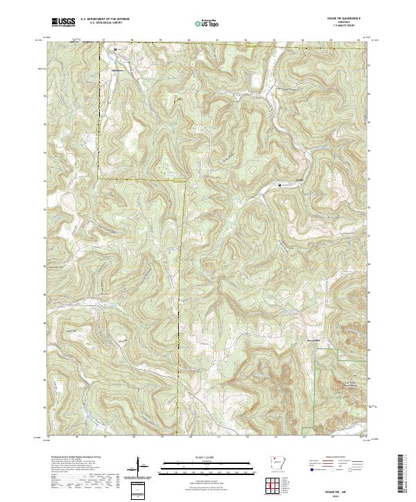
2024 Map of Osage SW
USGS Topo · Published 2024About this map
Buffalo National River anchors the southeastern corner of this region, where the deep incisions of Edmon Falls and the Natural Bridge define a landscape shaped by the drainage of Ponca Creek. The terrain is characterized by a dense network of winding hollows, such as Miller Hollow and Lawson Hollow, which separate high points like Logan Mtn and Arms Mtn. These geological features dictate the placement of small settlements and transportation routes throughout the area.
Find a feature on this map
78 named features on this map. Tap any name to fly to it.
Don’t see what you’re looking for? This feature index may not catch every label — zoom into the map to look around manually.
Map Details
Editions of this 2024 Osage SW Map
This is the sole edition of this map. No revisions or reprints were ever made.
Other maps of this area

1900 · Eureka Springs
USGS Topo · 1:125,000

1901 · Eureka Springs
USGS Topo · 1:125,000

1904 · Harrison
USGS Topo · 1:125,000

1905 · Harrison
USGS Topo · 1:125,000

1945 · Harrison
USGS Topo · 1:250,000

1949 · Harrison
USGS Topo · 1:250,000

1954 · Harrison
USGS Topo · 1:250,000

1956 · Russellville
USGS Topo · 1:250,000

1958 · Harrison
USGS Topo · 1:250,000

1964 · Russellville
USGS Topo · 1:250,000