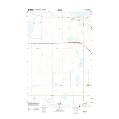
2013 Map of Osakis
USGS Topo · Published 2013About this map
The city of Osakis sits at the southwestern shore of Lake Osakis, a prominent water body that spans the boundary between Douglas and Todd counties. This 2013 survey illustrates the local infrastructure, including a cluster of historically significant sites such as Lakeside Cem, Evergreen Cem, and Calvary Cem. Further south, the landscape is defined by a dense network of glacial lakes and wetlands, including English Grove Lake and Burroughs Lake, which are interspersed with agricultural land and rural homesteads accessed by routes like Co HWY-76 Se and Steves RD Se.
Find a feature on this map
49 named features on this map. Tap any name to fly to it.
Don’t see what you’re looking for? This feature index may not catch every label — zoom into the map to look around manually.
Map Details
Editions of this 2013 Osakis Map
This is the sole edition of this map. No revisions or reprints were ever made.
Other maps of this area

1953 · Saint Cloud
USGS Topo · 1:250,000

1957 · Saint Cloud
USGS Topo · 1:250,000

1958 · Saint Cloud
USGS Topo · 1:250,000

1965 · Westport
USGS Topo · 1:24,000

1965 · Raymond Lake
USGS Topo · 1:24,000

1966 · West Union
USGS Topo · 1:24,000

1966 · Osakis
USGS Topo · 1:24,000

1966 · Lake Osakis East
USGS Topo · 1:24,000

1966 · Lake Osakis West
USGS Topo · 1:24,000

1966 · Alexandria East
USGS Topo · 1:24,000