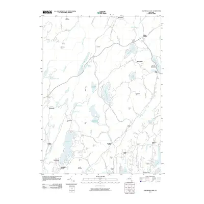
2010 Map of Oscawana Lake
USGS Topo · Published 2010About this map
Mahopac Mines anchor the southeastern corner of this Putnam County landscape, a region defined by a dense network of reservoirs, lakes, and high ridges. The terrain transitions from the heights of Granite Mountain and Candlewood Hill down to significant water bodies like Oscawana Lake and the Wiccopee Reservoir. This area has long served as a vital water source and recreational retreat, as evidenced by the numerous camps such as Camp Wiccopee and Nokomis Camp.
Find a feature on this map
105 named features on this map. Tap any name to fly to it.
Don’t see what you’re looking for? This feature index may not catch every label — zoom into the map to look around manually.
Map Details
Editions of this 2010 Oscawana Lake Map
This is the sole edition of this map. No revisions or reprints were ever made.
Other maps of this area

1892 · West Point
USGS Topo · 1:62,500

1892 · Carmel
USGS Topo · 1:62,500

1893 · Carmel
USGS Topo · 1:62,500

1893 · Clove
USGS Topo · 1:62,500

1893 · Poughkeepsie
USGS Topo · 1:62,500

1894 · West Point
USGS Topo · 1:62,500

1894 · Clove
USGS Topo · 1:62,500

1894 · Carmel
USGS Topo · 1:62,500

1894 · Poughkeepsie
USGS Topo · 1:62,500

1898 · Clove
USGS Topo · 1:62,500