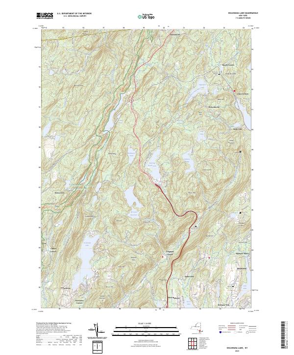
2023 Map of Oscawana Lake
USGS Topo · Published 2023About this map
Mahopac Mines stands as a significant industrial marker in this landscape of reservoirs and ridges within Putnam County. The terrain is defined by the flow of Peekskill Hollow Creek and the expansive Oscawana Lake, with the Delaware Aqueduct cutting a subterranean path through the northern hills. Early settlement patterns are preserved through a series of named corners and cemeteries, including the Union and Halstead Cem near Meads Corners and the Tompkins Corners Cem at the junction of Peekskill Hollow Rd.
Find a feature on this map
85 named features on this map. Tap any name to fly to it.
Don’t see what you’re looking for? This feature index may not catch every label — zoom into the map to look around manually.
Map Details
Editions of this 2023 Oscawana Lake Map
This is the sole edition of this map. No revisions or reprints were ever made.
Other maps of this area

1892 · West Point
USGS Topo · 1:62,500

1892 · Carmel
USGS Topo · 1:62,500

1893 · Carmel
USGS Topo · 1:62,500

1893 · Clove
USGS Topo · 1:62,500

1893 · Poughkeepsie
USGS Topo · 1:62,500

1894 · West Point
USGS Topo · 1:62,500

1894 · Clove
USGS Topo · 1:62,500

1894 · Carmel
USGS Topo · 1:62,500

1894 · Poughkeepsie
USGS Topo · 1:62,500

1898 · Clove
USGS Topo · 1:62,500