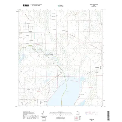
2021 Map of Osceola
USGS Topo · Published 2021About this map
Lake Harney dominates the lower center of this landscape, where the Saint Johns River winds through a complex wetland system defining the border between Volusia and Seminole counties. The area is characterized by an intricate network of sloughs and swamps, including Le Fils Slough, Cow House Slough, and the Black Cypress Swamp. Higher ground is marked by features like Clark Hammock and Gator Gap, while small settlements like Osceola, Pennichaw, and Farmton are connected by a mix of rural roads and the East Central Regional Rail Trl.
Find a feature on this map
87 named features on this map. Tap any name to fly to it.
Don’t see what you’re looking for? This feature index may not catch every label — zoom into the map to look around manually.
Map Details
Editions of this 2021 Osceola Map
This is the sole edition of this map. No revisions or reprints were ever made.
Other maps of this area

1949 · Osceola
USGS Topo · 1:24,000

1950 · Maytown
USGS Topo · 1:24,000

1950 · Edgewater
USGS Topo · 1:24,000

1950 · Aurantia
USGS Topo · 1:24,000

1953 · Geneva
USGS Topo · 1:24,000

1955 · Orlando
USGS Topo · 1:250,000

1956 · Oviedo
USGS Topo · 1:24,000

1957 · Orlando
USGS Topo · 1:250,000

1958 · Orlando
USGS Topo · 1:250,000

1962 · Orlando
USGS Topo · 1:250,000