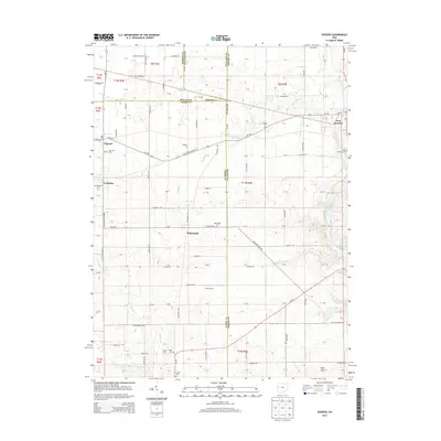
2013 Map of Osgood
USGS Topo · Published 2013About this map
Osgood and Fort Loramie anchor this section of Western Ohio, where the intersections of Mercer, Darke, Shelby, and Auglaize counties meet in a landscape defined by systematic agricultural blocks and winding creek beds. The village of Osgood is situated along Oh-705, serving as a central point for the surrounding farming community. To the east, Fort Loramie sits along the banks of Loramie Creek, a waterway that feeds into Barhorst Lake.
Find a feature on this map
82 named features on this map. Tap any name to fly to it.
Don’t see what you’re looking for? This feature index may not catch every label — zoom into the map to look around manually.
Map Details
Editions of this 2013 Osgood Map
This is the sole edition of this map. No revisions or reprints were ever made.
Other maps of this area

1908 · St. Henry
USGS Topo · 1:62,500

1909 · Loramie
USGS Topo · 1:62,500

1911 · Loramie
USGS Topo · 1:62,500

1911 · Covington
USGS Topo · 1:62,500

1944 · Covington
USGS Topo · 1:62,500

1944 · Loramie
USGS Topo · 1:62,500

1953 · Muncie
USGS Topo · 1:250,000

1956 · Muncie
USGS Topo · 1:250,000

1961 · Dawn
USGS Topo · 1:24,000
1961 · Piqua West
USGS Topo · 1:24,000